Ammanford Walks
![]()
![]() This former coal mining town is located in Carmarthenshire on the Heart of Wales Line.
This former coal mining town is located in Carmarthenshire on the Heart of Wales Line.
Local walking highlights include Llyn Llech Owain which lies just to the west. The country park includes peaceful woodland and some pleasant waterside trails around the pretty lake.
To the north is the splendid Dinefwr Park in nearby Llandeilo.
This walk in the town takes you through Ammanford Park to Betws Park where there are some nice trails along the River Amman.
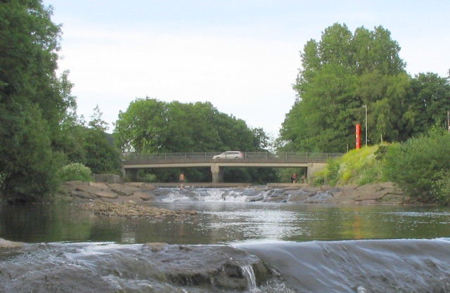
The Amman Valley Route is a shared cycling and walking trail running from Pantyffynnon to Brynamman via Ammanford. The traffic free path runs along the river with some splendid views to enjoy on the way.
Scroll down for a list of walks in the local area.
Ammanford Ordnance Survey Map  - view and print off detailed OS map
Ammanford Open Street Map  - view and print off detailed map
*New* - Walks and Cycle Routes Near Me Map - Waymarked Routes and Mountain Bike Trails>>
Ammanford OS Map  - Mobile GPS OS Map with Location tracking
Ammanford Open Street Map  - Mobile GPS Map with Location tracking
Walks near Ammanford
- Llyn Llech Owain - Enjoy waterside paths and woodland trails in this 158-acre country park in Carmarthenshire
- Swiss Valley Cycle Route - This cycle route runs from the coast at Llanelli through the Swiss Valley to the village of Tumble in Carmarthenshire.
- Dinefwr Park - Explore the 12th-century Welsh castle, the historic house, the 18th-century landscaped park and the medieval deer park in this large park in Llandeilo.
- Llandeilo - This circular walk takes you through the countryside surrounding the Carmarthenshire town of Llandeilo
- Gelli Aur Country Park - This lovely country park surrounds the Golden Grove mansion in Carmarthenshire.
- St Illtyd's Walk - A religous walk from Pembrey Country Park (Carmarthenshire) to Margam Country Park (Neath)
- Heart of Wales Line Trail - This long distance trail runs from Craven Arms in Shropshire to Llanelli in South Wales
- Pontarddulais - This town is located near to the city of Swansea and the splendid Gower Peninsula.
- Garn Goch - This walk climbs to the hill fort at Garn Goch, located near Llandeilo and Llangadog in the Brecon Beacons.
- Carreg Cennen Castle - Enjoy a circular walk around this spectacularly positioned ruined castle in Carmarthenshire
- Amman Valley - This shared cycling and walking trail runs through the Amman Valley from Pantyffynnon to Brynamman via Ammanford.
Further Information and Other Local Ideas
The Heart of Wales Line Trail passes through the town. The 143 mile trail explores the Heart of Wales Railway Line, a wonderful rural railway running between Swansea and Shrewsbury. The trail visit several train stations, old railway lines and photogenic railway viaducts. Following the path south would take you to Pontarddulais where you could enjoy a climb to the splendid viewpoint at Graig Fawr.
Photos
Ammanford Park. A view of the bandstand and cricket pitch taken from the entrance on Tir-y-dail Lane. On the horizon beyond the end of the path, All Saints Church can be seen on the hill.
The Gorsedd stone circle, Ammanford. This is a relatively modern construction only about a century old. The Gorsedd stone circle is where the Eisteddfod was held, whenever it came to town. It lies on a hill near the middle of town, just higher up than All Saints church. The small patch of grass it occupies is now surrounded by new houses.


