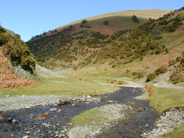
Ashes Hollow Walk

 This walk explores Ashes Hollow near the villages of Church Stretton and Little Stretton in the Shropshire Hills.
The V shaped valley is home to the Quinny Brook, a tributary stream of the River Onny. It's a lovely place for a walk with waterside footpaths along the pretty brook which is flanked by some beautiful hills and attractive vegetation.
You can start the walk in Little Stretton and head north to pick up the trail along the brook.
The stream continues up to the Long Mynd where you can enjoy some wonderful views from the elevated ridge.
Ashes Hollow Ordnance Survey Map  - view and print off detailed OS map
Ashes Hollow Open Street Map  - view and print off detailed map
Ashes Hollow OS Map  - Mobile GPS OS Map with Location tracking
Ashes Hollow Open Street Map  - Mobile GPS Map with Location tracking
Further Information and Other Local Ideas
The worthy village of Ratlinghope is located just west of the Pole Bank summit. It's a pretty place located on both the River East Onny and the Darnford Brook. You could explore the village and then head to The Bridges Pub which is in a lovely riverside spot.


