GPS Cycle and Walking Routes

Aughton and Clieves Hill Circular Walk

5 miles (8.7 km)

The Lancashire village of Aughton is located just to the west of the market town of Ormskirk.
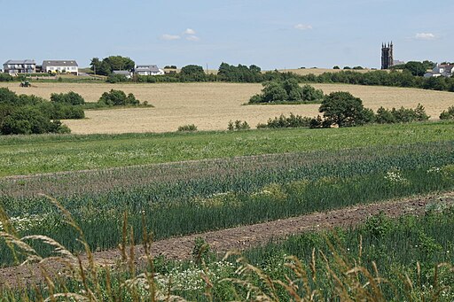
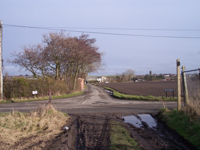
This circular walk explores the Clieves Hills area located to the north of the settlement. The area has some pleasant country lanes and footpaths with fine views over the countryside of the Lancashire Plain. On a clear day you can also see the city of Liverpool and the Welsh Hills.
You can start and end the walk from Aughton Park railway station on the Ormskirk branch of the Northern Line of the Merseyrail network. You can catch the train to the village from Ormskirk or Liverpool Central station.
To extend the walk head west to pick up the Leeds and Liverpool Canal and enjoy an easy waterside walk along the towpath.

Aughton and Clieves Hill OS Map - Mobile GPS OS Map with Location tracking

Aughton and Clieves Hill Open Street Map - Mobile GPS Map with Location tracking

Cycle Routes and Walking Routes Nearby

Photos

Looking towards Liverpool from Clieves Hill - geograph.org.uk - 150505

Looking towards Liverpool from Clieves Hill

Clieves Hill View - geograph.org.uk - 92647

Clieves Hill View. View towards Liverpool from view-point marked on modern maps. You can just make-out the Welsh Hills on the left horizon

Farmland with a hint of Wirral and North Wales beyond - geograph.org.uk - 3051177

Farmland with a hint of Wirral and North Wales beyond

Clieves Hill - geograph.org.uk - 649018

Houses near the top of a low ridge to the west of Ormskirk and overlooking the Lancashire Plain.

Gaw Hill from Booth's Lane, Aughton - geograph.org.uk - 4552580

Gaw Hill from Booth's Lane, Aughton

Small Lane - Fir Tree road junction - geograph.org.uk - 1161944

Small Lane

Video

GPS Files

GPX File

Aughton and Clieves Hill.gpx (On Desktop:Right Click>'Save As. On Ipad/Iphone:Click and hold>Share>Save to Files')