Ormskirk Walks
![]()
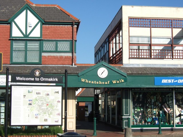
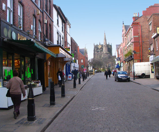
![]() This West Lancashire based market town is in a good spot for exploring some fairly flat countryside. The town itself is a pleasant place for a walk with conservation areas, a regular market, three local parks and a church which dates back to the 15th century. Ormskirk is famous for its Gingerbread which became part of the town's retail history with several local bakers claiming to have the original recipe for the sweet treat.
This West Lancashire based market town is in a good spot for exploring some fairly flat countryside. The town itself is a pleasant place for a walk with conservation areas, a regular market, three local parks and a church which dates back to the 15th century. Ormskirk is famous for its Gingerbread which became part of the town's retail history with several local bakers claiming to have the original recipe for the sweet treat.
This walk from the town visits two of the highlights of the area at the Leeds and Liverpool Canal and Martin Mere Nature Reserve.
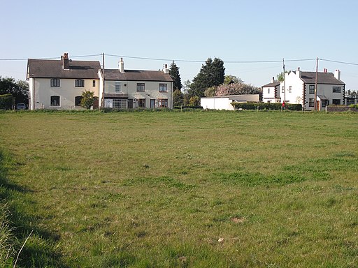
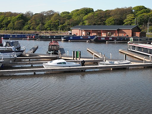
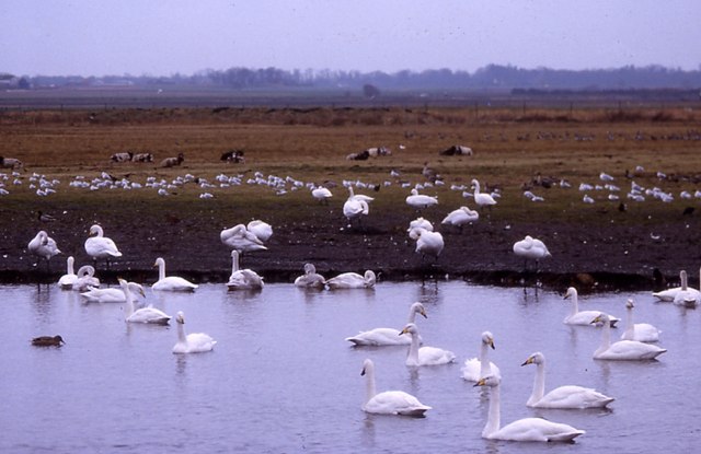
The walk starts in the town and then follows Asmall Lane and public footpaths west to link up with the canal near Pinfold. From here you head east, passing the pretty Marina at Scarisbrick, Hurlston Green and Heaton's Bridge. The route then turns north and then east, following country lanes and footpaths to Martin Mere. The wildlife reserve includes several lakes with many varieties of bird to see.
To extend the walk you could head a little to the north east to visit Mere Sands Wood Nature Reserve and the historic Rufford Hall which is run by the National Trust.
To return to Ormskirk you could retrace your steps or head into nearby Burscough and catch the train back.
Postcode
L39 4QF - Please note: Postcode may be approximate for some rural locationsOrmskirk Ordnance Survey Map  - view and print off detailed OS map
Ormskirk Open Street Map  - view and print off detailed map
Ormskirk OS Map  - Mobile GPS OS Map with Location tracking
Ormskirk Open Street Map  - Mobile GPS Map with Location tracking
Walks near Ormskirk
- Martin Mere - This wonderful nature reserve near Southport has lots of nice footpaths to follow around the wetland habitat
- Maghull - This town in Merseyside has some nice walking trails along the local canal and nature reserve.
- Lunt Meadows - This walk visits the wildlife rich Lunt Meadows Nature Reserve on Merseyside.
- Burscough Canal Walk - A nice stroll along the Rufford Branch of the Leeds and Liverpool Canal to Rufford Hall from Burscough, Lancashire.
Burscough has two train stations so is easily reached by public transport - Southport - The seaside town of Southport has some lovely coastal trails to try
- Formby Beach - Explore the beaches, sand dunes and woodland in this beautiful nature reserve in Formby
- Mere Sands Wood - Follow the footpaths around this delightful nature reserve on this circular walk in Rufford, Lancashire
- Parbold Hill - This circular walk climbs to Parbold Hill from the village of Parbold in Lancashire
- Parbold Fairy Glen - This walk visits the delightful Fairy Glen near the Lancashire village of Parbold
- Appley Bridge Canal Walk - A waterside walk along the Leeds and Liverpool Canal from Appley Bridge to Burscough in Lancashire
- Rufford Old Hall - This walk visits the National Trust's Rufford Old Hall in Lancashire
- Croston - This rural Lancashire village sits in a lovely spot on the River Yarrow
- Aughton and Clieves Hill - The Lancashire village of Aughton is located just to the west of Ormskirk.
- Mawdesley - This Lancashire based village is located near Croston and Parbold.
Pubs/Cafes
The Cricketer's is a nice place for some rest and refreshment after your exercise. The pub has a charming interior with interestin and garden area for warmer days. The friendly pub serves good quality dishes from an extensive menu too. You can find them on Chapel Street with postcode L39 4QF for your sat navs.
Further Information and Other Local Ideas
One nice idea is to follow the canal south to visit nearby Maghull where you can explore the wildlife rich Lunt Meadows Nature Reserve.
If you head a few miles west you'll reach the coast around Southport and the lovely sand dunes around Formby Beach.
Just to the west you can pick up the Aughton and Clieves Hill circular walk. This will take you to a lovely viewpoint with views towards Liverpool and North Wales.
