Avalon Marshes Walks
![]()
![]() The Avalon Marshes is an expansive nature reserve set in the Somerset's Levels. It's a wonderful place for bird watching with thousands of birds to look out for from a number of hides dotted around the site. These include heron, bittern, great white egrets, garganeys, marsh harriers, hobbies, bearded tits and Cetti's, reed and sedge warblers. The area is great for walkers with miles of easy flat footpaths taking you around the reserve's lakes and waterways.
The Avalon Marshes is an expansive nature reserve set in the Somerset's Levels. It's a wonderful place for bird watching with thousands of birds to look out for from a number of hides dotted around the site. These include heron, bittern, great white egrets, garganeys, marsh harriers, hobbies, bearded tits and Cetti's, reed and sedge warblers. The area is great for walkers with miles of easy flat footpaths taking you around the reserve's lakes and waterways.
In the reserve you will find a series of smaller reserves including:
Other walks in the area include:
- Glastonbury Tor - This popular walk takes you from the ruins of Glastonbury Abbey to the summit of the iconic Glastonbury Tor
- Street Somerset - This pretty Somerset based village is a great place from which to explore the nearby Polden Hills and Mendip Hills
- Glastonbury Canal - Follow the Glastonbury Canal through the Somerset Levels on this waterside walk through the Avalon Marshes
This walk starts from the Avalon Marshes Centre which includes a visitor information, car park, café, craft shop, replica historic buildings, classroom, meeting room, car park and toilets. It's a great place to learn all about the area and visit some of the nearby reserves.
The walk visits nearby Shapwick Heath and Ham Wall before heading into Glastonbury along the Glastonbury Canal. Here you can visit the ancient abbey and the viewpoint at the famous Glastonbury Tor.
Postcode
BA6 9TT - Please note: Postcode may be approximate for some rural locationsPlease click here for more information
Avalon Marshes Ordnance Survey Map  - view and print off detailed OS map
Avalon Marshes Open Street Map  - view and print off detailed map
Avalon Marshes OS Map  - Mobile GPS OS Map with Location tracking
Avalon Marshes Open Street Map  - Mobile GPS Map with Location tracking
Further Information and Other Local Ideas
Just to the south of Street you'll find the neighbouring village of Compton Dundon where you can try the Compton Dundon and Combe Hill Wood Walk. The circular walk includes a climb to Iron Age Hillfort on Dundon Beacon and a visit to the Hood Monument, which is something of a historic local landmark.
Photos
Shapwick Heath. Looking from Noah's hide across towards Roughet. Shapwick Heath is a National Nature Reserve based around former peat workings. The open water and reedbeds support a wide range of birds and other wildlife.
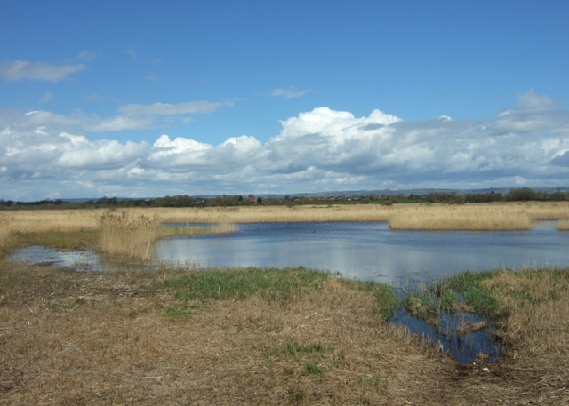
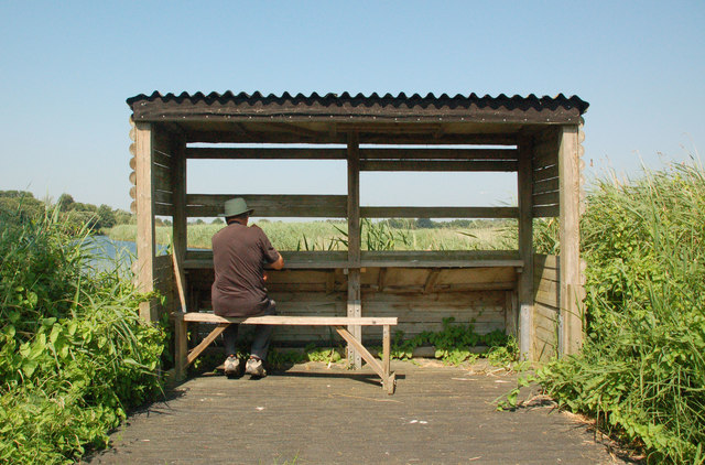
Looking across Meare Heath from the hide. Meare Heath is part of the Shapwick Heath National Nature Reserve in the Avalon Marshes. The reserve is managed by Natural England and is important for its fenland, wet meadows, reedbeds and wet woodland and the large areas of open water formed by restored peat workings.
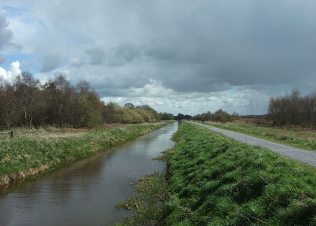
Shapwick Heath. Taken from the bridge to Meare Heath looking along the main rhyne and the former peat railway towards Ashcott Corner and Ham Wall.

