Avon Estuary Walk
![]()
![]() This lovely circular walk explores both sides of the beautiful Avon Estuary in south Devon. The coastal views over Bigbury Bay are wonderful and there's a huge variety of wildlife to look out for on the way. Keep your eyes peeled for sandpiper, little egrets, greenshank, curlew, lapwing, widgeon, teal and redshank as you make your way along the estuary.
This lovely circular walk explores both sides of the beautiful Avon Estuary in south Devon. The coastal views over Bigbury Bay are wonderful and there's a huge variety of wildlife to look out for on the way. Keep your eyes peeled for sandpiper, little egrets, greenshank, curlew, lapwing, widgeon, teal and redshank as you make your way along the estuary.
Start your walk from the Bantham Sands car park at the southern end of the estuary. You can then catch the ferry over the river to Bigbury on Sea. It's a seasonal crossing so click here for details of the running times. The path then heads north, passing the village of Bigbury, before coming to Aveton Gifford at the head of the estuary. Here you can enjoy refreshments at the local pub and explore the church which has elements dating from the 13th century.
After exploring the village you cross the river on the Aveton Gifford Bridge and follow the trail along the eastern side of the estuary. You'll pass mainly through farmland with a short woodland stretch through Stiddicombe Wood. The trail then passes Bantham before returning to the car park.
To extend your walking in the area you can head to Burgh Island. You can walk to the island at low tide or catch the sea tractor which is run by the island's hotel.
Just to the west you can enjoy similar walk along the Erme Estuary. There's lots more birds to look out for here with some woodland trails and coastal views. You can follow the South West Coast Path all the way to the Erme Estuary.
Postcode
TQ7 3AN - Please note: Postcode may be approximate for some rural locationsAvon Estuary Walk Ordnance Survey Map  - view and print off detailed OS map
Avon Estuary Walk Open Street Map  - view and print off detailed map
Avon Estuary Walk OS Map  - Mobile GPS OS Map with Location tracking
Avon Estuary Walk Open Street Map  - Mobile GPS Map with Location tracking
Pubs/Cafes
At Aveton Gifford The Fisherman's Rest is a nice place for a pit stop. The pub is in a fine streamside location and sells good quality food at reasonable prices. They have a pleasant garden area and an outdoor terrace with views of the countryside. You can find them on Fore Street at postcode TQ7 4JL.
Further Information and Other Local Ideas
The circular Bigbury on Sea Walk starts from the nearby village uses part of the path to explore the area. It visits Burgh Island and also passes a noteworthy 13th century pub at Ringmore.
On the eastern side of the estuary you can link up with the Thurlestone and Bantham Walk. Here you'll find the National Trust's lovely South Milton beach, the striking Thurlestone Rock Arch and a great beachside seafood cafe.
For more walking ideas in the area see the Devon Walks page.
Cycle Routes and Walking Routes Nearby
Photos
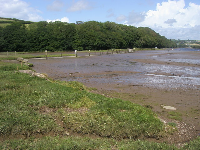
Avon estuary. From Bigbury Footpath 5, carrying the Avon Estuary Walk, looking across and up the estuary with its wooded margin, at highish tide. The wood climbing the far side is Stadbury Wood.


