Aveton Gifford Walks
![]()
![]() This short circular walk explores the area around the little village of Aveton Gifford in Devon.
This short circular walk explores the area around the little village of Aveton Gifford in Devon.
It's a pleasant place for a walk with easy waterside paths along the River Avon Estuary and a little creek that runs off to the north. There's also a noteworthy 13th century church and a fine local pub for rest and refreshment after your exercise.
The route starts from the village car park and uses part of the Avon Estuary Walk and other public footpaths to explore the area.
To extend the walk head a couple of miles east to neighbouring Loddiswell. Here you visit the old railway station, explore the 14th century church and enjoy more pleasant riverside trails.
Postcode
TQ7 4NT - Please note: Postcode may be approximate for some rural locationsAveton Gifford Ordnance Survey Map  - view and print off detailed OS map
Aveton Gifford Open Street Map  - view and print off detailed map
Aveton Gifford OS Map  - Mobile GPS OS Map with Location tracking
Aveton Gifford Open Street Map  - Mobile GPS Map with Location tracking
Walks near Aveton Gifford
- Avon Estuary Walk - This lovely circular walk explores both sides of the beautiful Avon Estuary in south Devon
- Loddiswell - This Devon based village has some lovely walking trails to follow through the Avon Valley
- Kingsbridge and Bowcombe Creek - Enjoy a circular walk to the lovely Bowcombe Creek from the popular market town of Kingsbridge in the South Devon AONB
- Salcombe and Bolt Head Circular Walk - This coastal circular walk takes you from Salcombe to the coastal headland at Bolt Head
- Prawle Point - Visit this wonderful coastal headland on this exhilarating walk in South Devon
- Bolberry Down - This easy circular walk explores the National Trust owned Bolberry Down on the Devon coast
- Gara Rock - This circular walk on the South Devon coast visits Gara Rock from East Portlemouth
- Bigbury on Sea - This attractive seaside village is located in the South Hams area of South Devon
- Burgh Island - Visit this beautiful island off the south coast of Devon on this lovely coastal walk
- Blackdown Rings - This walk visits an ancient Iron Age Hillfort and viewpoint in South Devon near Loddiswell.
- Erme Estuary - This circular walk explores the beautiful estuary of the River Erme as it meets the English Channel in South Devon
- Erme Plym Trail - Follow the Erme - Plym trail from Ivybridge to Laira Bridge on the outskirts of Plymouth on this pleasant walk through Devon
- Modbury - This large village in South Devon is a nice place to enjoy a stroll
- Soar Mill Cove - This circular walk explores the beautiful Soar Mill Cove on the Devon Coast.
Pubs/Cafes
The Fisherman's Rest is located close to the car park in the village. The pub is in a fine streamside location and sells good quality food at reasonable prices. They have a pleasant garden area and an outdoor terrace with views of the countryside. You can find them on Fore Street at postcode TQ7 4JL.
Dog Walking
The river and country trails make for a nice dog walk. The Fisherman's Rest mentioned above is also dog friendly.
Photos
Aveton Gifford Bridge. This is southern of two bridges carrying the A379 over the river Avon at Aveton Gifford. The northern bridge is similar, over the tail of the mill leat. Both have been sympathetically widened from their original size to cope with modern traffic. The older, smaller, arches on the far side are visible within the arches viewed here.
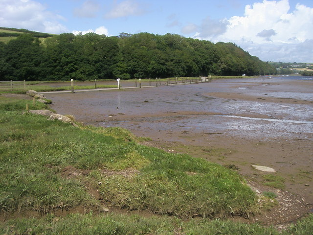
Creek near Milburn Orchard. A tidal creek leading into the Avon Estuary. Taken from the Tidal Road at the mouth of the creek. "The creek at Milburn Orchard is a wonderful example of salt marsh. This important habitat is formed on low coasts where the ground gets flooded by sea water. Cord Grass traps silt from the tide, which eventually raises the level of the marsh."


