Benenden Walks
![]()
![]() This Kent based village is located in the High Weald near Tenterden. It's a lovely place to visit with a pretty village green and a noteworthy pub dating back to 1608.
This Kent based village is located in the High Weald near Tenterden. It's a lovely place to visit with a pretty village green and a noteworthy pub dating back to 1608.
The village is on the High Weald Landscape Trail, a long distance waymarked footpath that can be used to explore the surrounding area.
The expansive Hemsted Forest, which lies just to the north, is another local walking highlight.
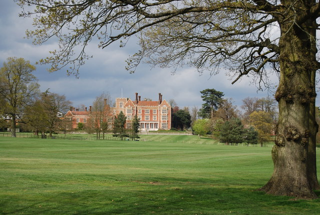
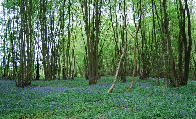
This circular walk from the village visits neighbouring Iden Green using public footpaths and a section of the High Weald Landscape Trail. On the way there's some lovely bluebell woodlands in Strawberry Woods and Willerd's Hill Woods, plus fine views of the surrounding High Weald countryside.
Postcode
TN17 4DE - Please note: Postcode may be approximate for some rural locationsBenenden Ordnance Survey Map  - view and print off detailed OS map
Benenden Open Street Map  - view and print off detailed map
Benenden OS Map  - Mobile GPS OS Map with Location tracking
Benenden Open Street Map  - Mobile GPS Map with Location tracking
Walks near Benenden
- High Weald Landscape Trail - Explore the High Weald AONB on this fabulous 90 mile walk that links the ridge-top villages and historic gardens for which the area is famous
- Tenterden - This Kent town has some nice walks to try around the High Weald AONB in which it sits
- Hemsted Forest - This forest in Kent has mile of good walking and cycling trails taking you through attractive conifer, pine and douglas fir plantations
- Sissinghurst Castle - Explore the 460 acres of gorgeous Wealden countryside in the Sissinghurst Castle Estate on this walk in Kent
- Bodiam Castle - This 14th century moated castle in Sussex is one of the National Trust's most visited properties
- Leeds Castle Maidstone - Explore the stunning grounds of this 19th century castle and former residence of Catherine of Aragon. There are 500 acres of beautiful parkland, open water and formal gardens to explore on well laid out walking paths.
- Royal Military Canal Path - This walking route runs from Pett Level to Seabrook along the Royal Military Canal
- Biddenden - This delightful Kent village is a splendid place for an afternoon stroll
- Dering Woods - These woods near Pluckley are also known as "Screaming" wood due to reports of paranormal activity in the area
- Bedgebury Forest - Bedgebury is a great place for cyclists with miles of family cycle tracks and a more challenging mountain bike trail
- Ashford - This Kent town is ideally positioned for walkers on the edge of the Kent Downs and the North Downs
- Eastwell Park Lake - This walk visits the Eastwell Park Estate in Boughton Lees in Kent
Pubs/Cafes
The Bull is a good choice for some post walk refreshment. The early 17th century pub is located in a pleasant spot by the village green and includes fascinating architectural features such as Chinoiserie windows, inglenook fireplaces, carved beams and lots of nooks and crannies. The antique tables and chairs, cosy rugs and cushions, low lighting, candles and antique portraits take you back hundreds of years. They serve good quality food and can be found at postcode TN17 4DE.
Dog Walking
The woodland and countryside surrounding the village are ideal for dog walking. The Bull mentioned above is also dog friendly.


