Bleasdale Circle
![]()
![]() This walk visits the Bleasdale Stone Circle in the Forest of Bowland Area of Outstanding Natural Beauty.
This walk visits the Bleasdale Stone Circle in the Forest of Bowland Area of Outstanding Natural Beauty.
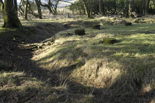
The circular walk starts at the church in the little village of Bleasdale, just to the south of the circle. Head north from here to Vicarage Farm and you can follow a track heading east to the circle. This Bronze Age circular earthwork is possibly aligned with the sunrise of the Summer Solstice. It's a very peaceful and picturesque spot to explore.
The route then heads west back to the farm before turning north towards Admarsh Farm, Holme House and Hazelehurst. From here you turn south west to Clough Heads Wood before passing the Packhorse Bridge over the River Brock at Brooks and returning to Bleasdale.
Postcode
PR3 1US - Please note: Postcode may be approximate for some rural locationsBleasdale Circle Ordnance Survey Map  - view and print off detailed OS map
Bleasdale Circle Open Street Map  - view and print off detailed map
Bleasdale Circle OS Map  - Mobile GPS OS Map with Location tracking
Bleasdale Circle Open Street Map  - Mobile GPS Map with Location tracking
Pubs/Cafes
If you head into nearby Chippping you could pay a visit to The Sun Inn for some post walk refreshment. The 17th century village pub includes a wood-fired pizza barn and a nice garden area. You can find them at 2 Windy Street with postcode PR3 2GD for your sat navs.
There's also the friendly Tillotsons Arms on Talbot Street. The two roomed, beamed pub was built in 1836 and also has a garden area for warmer weather.
Further Information and Other Local Ideas
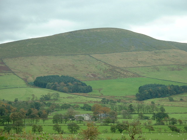
To continue your walking in the area you could enjoy a climb to Parlick and Fair Snape Fell. There are nice views of these nearby fells on this route.
Beacon Fell Country Park, Brock Bottom, Calder Vale and Longridge Fell are also not far away.
Just to the north of the fell you can pay a visit to the peaceful and atmospheric Bleasdale Circle. This Bronze Age circular earthwork is thought to be aligned with the sunrise of the Summer Solstice.
For more walking ideas in the area see the Forest of Bowland Walks page.


