Border County Ride
![]()
![]() This long distance circular route follows the Border County Ride through the Cheviots, Northumberland and along the England - Scotland border.
This long distance circular route follows the Border County Ride through the Cheviots, Northumberland and along the England - Scotland border.
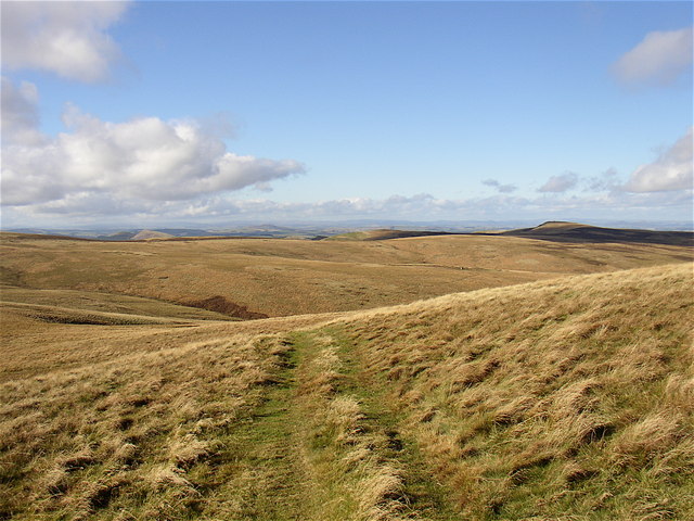
The trail is suitable for mountain bikers, walkers and horse riders. It takes you along a series of elevated paths with excellent views over the surrounding Cheviot Hills from the high points.
The route starts at the public parking area at Buckham's Bridge on the England - Scotland border. You could also start from the parking area at Kielder Reservoir if you prefer.
The trail visits the MOD's Otterburn Ranges, Kidland Forest, Kielder Reservoir, Bellingham, Harwood Forest, Upper Coquetdale and Alwinton.
For another circular walk through the area see the Otterburn Ranges Walk which explores the Roman Roads, ancient sites and hill tops of this expansive MOD owned area.
Border County Ride Ordnance Survey Map  - view and print off detailed OS map
Border County Ride Open Street Map  - view and print off detailed map
Border County Ride OS Map  - Mobile GPS OS Map with Location tracking
Border County Ride Open Street Map  - Mobile GPS Map with Location tracking
Cycle Routes and Walking Routes Nearby
Photos
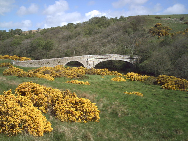
East Woodburn Bridge. A very interesting bridge spanning the River Rede near East Woodburn. Despite a lot of research I have been unable to unearth any historical facts about this crossing on the Border County Ride drove road. The main span, crossing the river itself, would appear to date from the late 18th Century. The section on the left of the photograph would appear to pre-date this. There is a very faint engraving on a stone pillar on the western entrance of the bridge which may read 1732. The main span must have been replaced at some time in the 18th Century and 'tagged on' to the remains of an earlier crossing. There are two clearly distinct architectural styles - dressed stone on the main span cf. rough stone on the earlier western approach. If anyone knows any better, I'd love to hear from them.
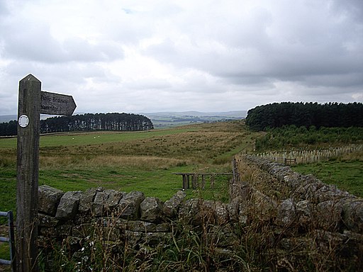
This section of the old drove road runs north of West Woodburn down to East Woodburn Bridge. Darney Crag (and Darney quarry) are in the distance.


