Otterburn Ranges Walks

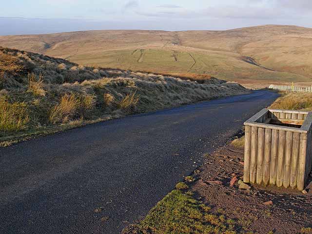
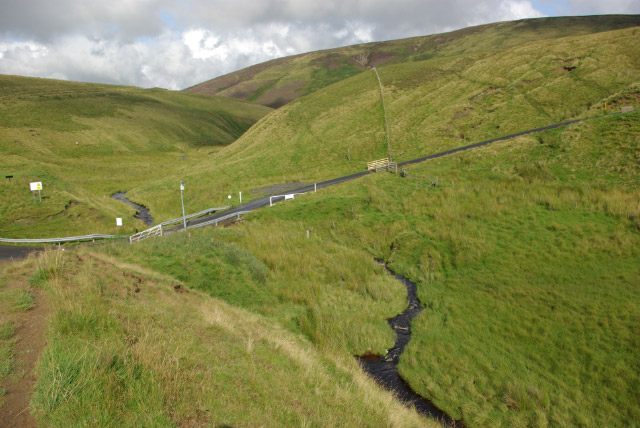
 This walk explores the Otterburn Ranges, an expansive Ministry of Defence owned area of the Northumberland National Park.
The wide area of Moorland is a haven for wildlife due to its remote, sparsley populated nature.
This circular walk explores the ranges around the village of Byrness. There is some roadside parking along the A road and the Forest View Walkers Inn where parking is available to guests.
From near here you can pick up the Pennine Way and follow it north past Byrness Hill, Houx Hill and Ogre Hill on the edge of the Border Forest Park.
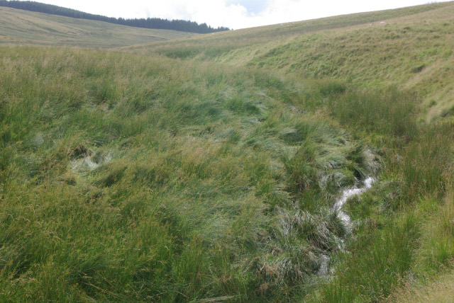
Turn east here and you will soon come to the source of the River Coquet at Coquet Head, on the border with Scotland.
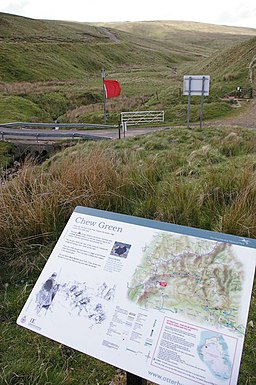
You'll pass along the Border County Ride, heading east to the site of the medieval village of Kemylpethe and the old Roman Fort at Chew Green. There's an information board here detailing the history of the ancient site.
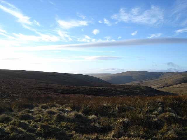
Here you pick up the old Roman Road known as Camel's Path or Dere Street and follow it south east to Middle Golden Pot with great views of the Cheviots.
Here you turn south west, passing the Cottonshope Quarry before a woodland section through the Byrness Plantation.
You can then pick up the Pennine Way again and follow it west along the edge of Redesdale Forest and the River Rede.
To continue your walking in the area head towards Alwinton and try the Usway Burn - River Coquet - Upper Coquetdale Walk.
Postcode
NE19 1TS - Please note: Postcode may be approximate for some rural locationsPlease click here for more information
Otterburn Ranges Ordnance Survey Map  - view and print off detailed OS map
Otterburn Ranges Open Street Map  - view and print off detailed map
Otterburn Ranges OS Map  - Mobile GPS OS Map with Location tracking
Otterburn Ranges Open Street Map  - Mobile GPS Map with Location tracking
Walks around the Otterburn Ranges
- Hindhope Linn - This circular walk visits the beautiful Hindhope Linn and Blakehopeburnhaugh Waterfalls in Kielder Forest.
- Catcleugh Reservoir - This walk takes you along Catcleugh Reservoir before climbing to Girdle Fell for great views over the Northumberland National Park
- Otterburn - This circular walk follows the Otterburn Village Trail around this Northumberland village
- Usway Burn - River Coquet - Upper Coquetdale Walk - Enjoy some lovely waterside walking along the Usway Burn and the River Coquet on this route in the Upper Coquetdale area of the Northumberland National Park
- Kidland Forest - Explore Kidland Forest and Upper Coquetdale on this circular cycle ride in the Northumberland National Park
- Harwood Forest - Enjoy a largely traffic free cycle ride through Harwood Forest and the Simonside Hills in the Northumberland National Park
- Simonside Hills - The Simonside Hills are a fabulous place for walkers with miles of footpaths taking you through woodland and moorland to wonderful viewpoints
- Fontburn Reservoir - This circular walk takes you around the lovely Fontburn Reservoir in Northumberland
- Elsdon - This attractive village in the Northumberland National Park is a lovely place for a stroll
- Harbottle - This circular walk from the Northumberland village of Harbottle climbs to Cold Law, Dove Crag and Harbottle Crags
- Alwinton - This Northumberland based village has some lovely heather moorland, riverside trails, interesting geology, hill climbs and a historic old castle to explore
- Pennine Way - This fabulous 268 mile path takes you through three of England's finest national parks
- Border County Ride - This long distance circular route follows the Border County Ride through the Cheviots, Northumberland and along the England - Scotland border.
Further Information and Other Local Ideas
The waterside trails along Hindhope Linn and Catcleugh Reservoir are located very close to the start point of the walk in Byrness.


