Brent River Park Walk
![]()
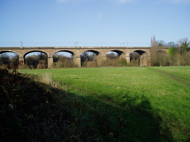
![]() This waymarked trail takes you along the Brent River in the capital. It runs for about 5 miles along a nice flat trail with plenty of wildlife, a series of weirs and some riverside parks to see on the way.
This waymarked trail takes you along the Brent River in the capital. It runs for about 5 miles along a nice flat trail with plenty of wildlife, a series of weirs and some riverside parks to see on the way.
The walk starts on the river just south of Perivale in the Brentham Meadows park where there are some pretty wildflowers in the summer months. You then head west following the river through Pitshanger Park to Perivale Golf Course near Greenford. The river then bends to the south taking you past Dormer's Wells and Hanwell to the point where the river meets with the Grand Union Canal. You have the option of heading west along the canal and then north to create a longer circular walk if you choose. This route continues along the river to finish at another pretty riverside park in the shape of Eltherstone Park near Boston Manor tube and the outskirts of Brentford. It's a nice end to the walk with the Osterley Lock Orchard here as well.
Brent River Park Walk Ordnance Survey Map  - view and print off detailed OS map
Brent River Park Walk Open Street Map  - view and print off detailed map
Brent River Park Walk OS Map  - Mobile GPS OS Map with Location tracking
Brent River Park Walk Open Street Map  - Mobile GPS Map with Location tracking
Further Information and Other Local Ideas
At the southern end of the route you can extend the walk by heading a short distance south to visit Osterley Park. There's nice trails around the estate of the manor house with a lovely large lake to admire as well.
At the southern end you can continue along the epic Capital Ring towards Kew Gardens and the Thames Path.
In leafy Ealing there's nice trails around Ealing Common and the historic Walpole Park.
For more walking ideas in the area see the London Walks page.
Cycle Routes and Walking Routes Nearby
Photos
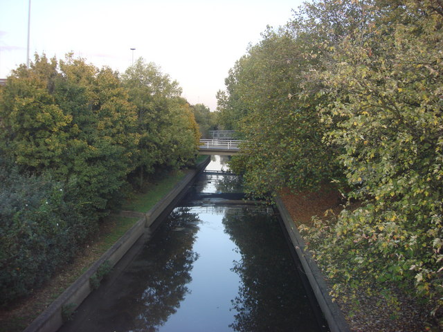
Start of the walk at Brentham Meadows, Brent River Park, Ealing. This open space is kept as a hay meadow, cut once a year so wildflowers and insects can flourish. The photo is taken where Western Avenue crosses the River Brent.
Brent Lodge Park St. Mary's church is in the background. The maze is off to the right. The River Brent is behind the photographer's position.


