Burnsall to Appletreewick and Simon's Seat Walk

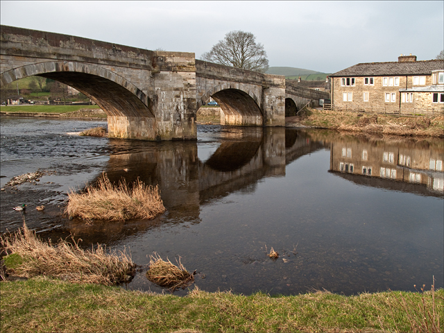
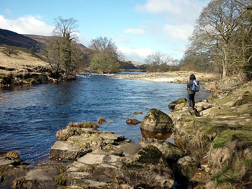
 This circular walk from Burnsall takes you to the village of Appletreewick and the wonderful viewpoint at Simon's Seat. On the way there's nice views of the River Wharfe and Blands Beck.
The walk starts on the five arched Burnsall Bridge where you can pick up the waymarked Dales Way and follow it along the River Wharfe to Howgill. Here you follow the How Beck for a short while before turning north to climb to Simon's Seat. The summit stands at a height of 485m (1590ft) offering fabulous views over the surrounding countryside of the Yorkshire Dales.
After taking in the views you descend to Dalehead Farm and High Skyreholme where you pick up country lanes to take you to Appletreewick. There's some pretty cottages here and a noteworthy, historic pub in the shape of the Craven Arms. Soon after leaving Appletreewick you pick up the riverside path again and follow it back into Burnsall.
Burnsall to Appletreewick and Simon's Seat Ordnance Survey Map  - view and print off detailed OS map
Burnsall to Appletreewick and Simon's Seat Open Street Map  - view and print off detailed map
Burnsall to Appletreewick and Simon's Seat OS Map  - Mobile GPS OS Map with Location tracking
Burnsall to Appletreewick and Simon's Seat Open Street Map  - Mobile GPS Map with Location tracking
Pubs/Cafes
The Craven Arms in Appletreewick is a special pub and well worth some investigation. It dates back all the way to the 16th century when it was originally a farm house. The interior has bags of character and old world charm with pictures of heros, pioneers and inspiring historical figures adorning the walls. There's also oak beams, a thatched roof and an adjacent Cruck Barn, the first of its kind to be built since the times Of Henry the VIII. You can find it at a postcode of BD23 6DA for your sat navs. The pub is also dog friendly if you have your canine friend with you.
Further Information and Other Local Ideas
Back in Burnsall you could pay a vist to the interesting old church. It's a Grade I listed building and is almost entirely Perpendicular. Inside there's an 11th-century font carved with bird and beasts, twelve Anglo-Saxon sculpture fragments and a 14th-century alabaster panel depicting the Adoration of the Magi.
For an alternative route to the summit try our other Simons Seat Walk which climbs through the Valley of Desolation from Bolton Abbey. Also nearby is the popular town of Grassington where you can try our Grassington Circular Walk. You can reach the town on our Burnsall to Grassington Walk. Just to the west of Grassington you'll find the worthy village of Threshfield. The pretty settlement includes an historic 16th century inn and the nearby Threshfield Quarry. The quarry is an unusual and atmospheric place for a walk with its limestone rocky cliffs and distinctive turquoise lakes.


