Butterton Walks
![]()
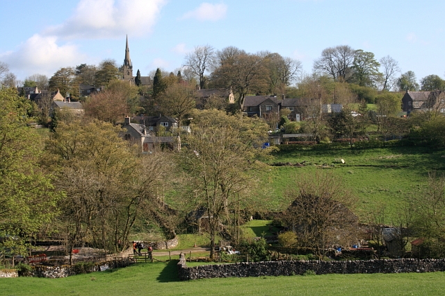
![]() This small rural village sits in a scenic spot in the Staffordshire Peak District.
This small rural village sits in a scenic spot in the Staffordshire Peak District.
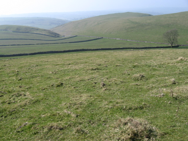
This circular walk from the village explores the River Manifold valley to the east before climbing to the fine viewpoints on Ecton Hill and Wetton Hill. On the way there's some nice riverside footpaths and a visit to the neighbouring village of Wetton, which lies just to the south east. Here you can visit the pretty Wetton Mill for refreshments or head to the nearby Thor's Cave, one of the major highlights of the area.
Part of the route uses a section of the Manifold Way, a popular cycling and walking route running along the river from Waterhouses to Hulme End along a former railway line.
Postcode
ST13 7SP - Please note: Postcode may be approximate for some rural locationsButterton Ordnance Survey Map  - view and print off detailed OS map
Butterton Open Street Map  - view and print off detailed map
Butterton OS Map  - Mobile GPS OS Map with Location tracking
Butterton Open Street Map  - Mobile GPS Map with Location tracking
Walks near Butterton
- Wetton - This pretty Peak District village is in a fine location for exploring the mills and caves of the River Manifold Valley and the White Peak .
- Manifold Way - Follow the River Manifold and the River Hamps through the Manifold Valley on this splendid shared walking and cycling path through the Peak District
- Thor's Cave - This walk takes you to the stunning natural cavern of Thor's Cave in the Manifold Valley area of the Peak District
- Ashbourne - The Derbyshire Dales town of Ashbourne is a fantastic base for walkers looking to explore the southern end of the Peak District
- Wolfscote Dale - This walk visits Wolfscote Dale in the Dove Dale area of the Peak District
- Biggin Dale - This walk explores the beautiful Biggin Dale National Nature Reserve in the Peak District
- Dovedale - The beautiful Dovedale is one of the must see areas in the Peak District
- Ilam Park - Ilam Country Park is a delightful open space owned by the National Trust
- Alstonefield - This walk takes you from the Staffordshire village of Astonefield to Dovedale in the Peak District.
Pubs/Cafes
The Black Lion Inn is a lovely village pub situated next to the old church. They serve high quality food and have a good selection of ales. Facilities include a car parking area, a real fire and a garden area for warmer weather.


