Canons Ashby
![]()
![]() This circular walk explores the gardens, parkland and countryside surrounding this Elizabethan manor house near Daventry.
This circular walk explores the gardens, parkland and countryside surrounding this Elizabethan manor house near Daventry.
Stroll through the beautiful 18th-century gardens with topiary and formal bedding before heading into the parkland with its old deer park, woodland and lakes. You can also explore the house with grand rooms, stunning tapestries and Jacobean plasterwork.
This walk starts at the parking area at Canons Ashby and then takes you into the lovely Northamptonshire countryside surrounding the estate. You'll visit the pretty medieval village of Moreton Pinkney with its 18th century cottages linked by a communal wisteria. The walk then makes use of the Macmillan Way and quiet country lanes to take you to Crockwell Farm and Woodfordhill before heading through the delightful parkland of Canons Ashby.
Postcode
NN11 3SD - Please note: Postcode may be approximate for some rural locationsPlease click here for more information
Canons Ashby Ordnance Survey Map  - view and print off detailed OS map
Canons Ashby Open Street Map  - view and print off detailed map
Canons Ashby OS Map  - Mobile GPS OS Map with Location tracking
Canons Ashby Open Street Map  - Mobile GPS Map with Location tracking
Further Information and Other Local Ideas
Head to the nearby Daventry Country Park for some fine walking and cycling trails around the pretty Daventry Reservoir.
For more walking ideas in the area see the Northamptonshire Walks page.
Cycle Routes and Walking Routes Nearby
Photos

Canons Ashby

Garden terrace of the house. The tower of St Marys Church can be seen in the background.

Topiary in the gardens

The garden looking away from the house

Bluebells in Ashby Gorse. Adjacent to Oxford Lane (byway) is Ashby Gorse, a small woodland full of bluebells. There is also a lake shown on the map but this is not visible from the byway.

Bottom Pool near South West Farm

Priory church of St Mary. The east end, viewed from the overgrown churchyard that covers much of site where once stood the Augustinian priory founded here in the 12th century.
.jpg)
The original entrance gates at Canons Ashby.
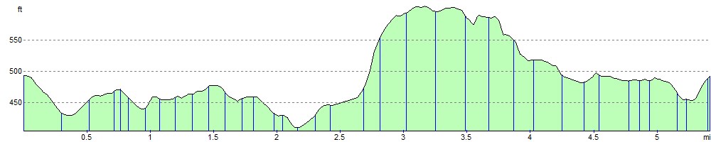
Elevation Profile