Car Colston Walk

 This Nottinghamshire based village is located in the Rushcliffe borough of the county.
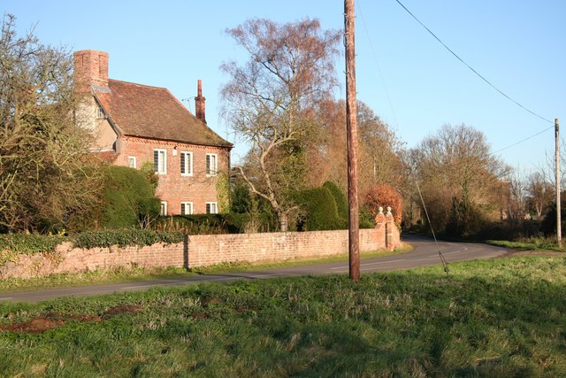
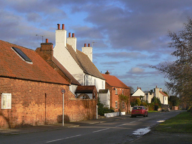
The pretty village is noted for its two large Elizabethan greens, the larger of which is thought to be the biggest green in England. It's an historic and interesting place for a stroll with several 18th and early 19th century buildings, many of which are listed.
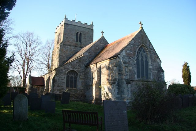
This circular walk in the village takes you across the greens to the neighbouring village of Screveton. Here you could pay a visit to the Grade I listed St Wilfrid's Church which dates to the 13th century.
To continue your walking in the Car Colston head a short distance west to visit nearby Gunthorpe where you can enjoy a riverside walk along the River Trent Valley Way.
Postcode
NG13 8JE - Please note: Postcode may be approximate for some rural locationsCar Colston Ordnance Survey Map  - view and print off detailed OS map
Car Colston Open Street Map  - view and print off detailed map
Car Colston OS Map  - Mobile GPS OS Map with Location tracking
Car Colston Open Street Map  - Mobile GPS Map with Location tracking
Walks near Car Colston
- Gunthorpe - This village near Nottingham is a popular place for riverside strolls
- Trent Valley Way - Follow the River Trent from Long Eaton in Derbyshire to West Stockwith in Nottinghamshire on this lovely waterside walk
- Holme Pierrepont Country Park - Enjoy a waterside walk or cycle in this splendid 270 acre country park in Nottingham
- Nottingham Circular Walk - This long circular walk makes use of various waymarked footpaths to take you on a tour of the city's rivers, canals, nature reserves and parks.
The walk starts at the train station and heads a short distance south to the River Trent - Shelford - This attractive Nottinghamshire village has some nice river and country trails to try
- West Bridgford - This Nottinghamshire based market town is located just south of the city of Nottingham
- Radcliffe on Trent - This village near Nottingham has some fine riverside trails and two fine local country parks to visit.
- Fiskerton - This rural Nottinghamshire village has some pleasant riverside and and countryside trails to try
- Burton Joyce - This Nottinghamshire village has some nice riverside trails and peaceful footpaths across the Burton Meadows.
- Bingham Linear Walk - This Nottinghamshire based market town is well positioned for exploring the countryside of the River Trent Valley
Pubs/Cafes
Head to the Royal Oak for some refreshment after your exercise. The 200 yeard old pub sits in a fine location next to the large village green. You can sit outside and enjoy a drink with a view over the green and the village. The pub can be found at postcode NG13 8JE for your sat navs. Theere is car parking available and they are also dog friendly.
Further Information and Other Local Ideas
Just to the south there's the town of Bingham where you can try the Bingham Linear Walk. The pleasant route runs along a disused railway line through the town and then out into the countryside where there are views of the River Smite.


