Sheriff Hutton Walks - Near and Around
![]()
![]() This village is located in the Ryedale area of North Yorkshire. The village is close to the Howardian Hills and there's also a number of waymarked trails running through the attractive surrounding countryside. The historic settlement includes a photogenic ruined castle, a Grade I listed 12th century church and a fine country pub to relax in after your exercise.
This village is located in the Ryedale area of North Yorkshire. The village is close to the Howardian Hills and there's also a number of waymarked trails running through the attractive surrounding countryside. The historic settlement includes a photogenic ruined castle, a Grade I listed 12th century church and a fine country pub to relax in after your exercise.
This route from the village uses sections of the Foss Walk, the Ebor Way and the Centenary Way to create a circular walk around the settlement.
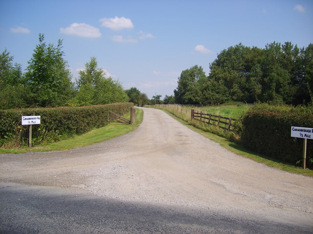
The walk starts at the remains of Sheriff Hutton castle on the southern side of the village. From here you can pick up the waymarked footpaths and follow them south to West Lilling and New Lane. You then turn north west along the Foss Walk to Sheriff Hutton Bridge where there are views of the old course of the River Foss. The trail heads north through farmland to Cornborough Manor where you turn east to follow the trail back to the village, via Mill Hill.
Postcode
YO60 6QZ - Please note: Postcode may be approximate for some rural locationsSheriff Hutton Ordnance Survey Map  - view and print off detailed OS map
Sheriff Hutton Open Street Map  - view and print off detailed map
Sheriff Hutton OS Map  - Mobile GPS OS Map with Location tracking
Sheriff Hutton Open Street Map  - Mobile GPS Map with Location tracking
Walks near Sheriff Hutton
- Foss Walk - Follow the River Foss, from the historic city of York to Easingwold, on this lovely riverside walk through Yorkshire
- Ebor Way - Follow the Ebor Way from Helmsley to Ilkley on this walk through Yorkshire
- Centenary Way Yorkshire - Explore the Howardian Hills and the Yorkshire Wolds on this splendid walk devised to celebrate the 100th anniversary of Yorkshire County Council
- Terrington - Terrington is a delightful village in the Howardian Hills near to Castle Howard
- Castle Howard - The 1000 acres of parkland and gardens surrounding this stately home is a walker's paradise
- Hovingham - This large village in Ryedale sits in an appealing location on the edge of the Howardian Hills
- Nunnington and the River Rye - This pretty village on the fringe of the Howardian Hills includes the National Trust owned Nunnington Hall and nice footpaths along the River Rye which runs through the village
- Helmsley Circular Walk - A lovely circular walk from Helmsley passing through Rye Dale and visiting the wonderful Rievaulx Abbey
- Helmsley to Rievaulx Abbey - This is a popular walk which takes you from the medieval Helmsley Castle to the fascinating ruins of Rievaulx Abbey
- Yearsley Woods - These expansive woods in the Howardian Hills have mountain bike trails and a series of footpaths to try
- Bishop Wilton - This pretty little village in the East Riding of Yorkshire is a pleasant place to start a walk into the Yorkshire Wolds
- Sutton on the Forest - This delightful village is located near York and Easingwold in the Hambleton District of North Yorkshire.
- Oulston Reservoir - This walk visits Oulston Reservoir in the Hambleton district of North Yorkshire.
- Strensall Common - Strensall Common lies just to the east of the North Yorkshire village of Strensall.
- Slingsby - This pretty North Yorkshire village sits just to the east of Hovingham in Ryedale.
Pubs/Cafes
Back in the village head to The Highwayman for some post walk refreshment. They serve good quality dishes which you can enjoy in the lovely garden area. You can find them on The Square at postcode YO60 6QZ.
Dog Walking
The country trails make for a fine dog walk and The Highwayman mentioned above is also dog friendly.
Further Information and Other Local Ideas
Head north and you can visit the delightful neighbouring village of Terrington. Around here there's also one of the major highlights of the area at Castle Howard near Welburn.
Just to the west is Sutton on the Forest where you can visit the 18th-century Georgian English country house of Sutton Park which includes some beautiful landscaped gardens.
For more walking ideas in the area see the Howardian Hills Walks page.
Photos
Sheriff Hutton Castle. The original motte and bailey castle, the remains of which can be seen to the south of the churchyard, was built here in the Forest of Galtres by Bertram de Bulmer, Sheriff of York during the reign of King Stephen (c. 1135–1154). The stone castle was built at the western end of the village by John, Lord Neville in the late fourteenth century. The castle is Grade II listed.


