Cockermouth Railway Walk

 This walk in Cockermouth takes you along the old disused railway line in the town.
The path is suitable for both cyclists and walkers, forming part of the National Cycle Network in the town.
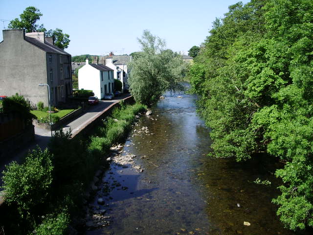
The walk starts at the public car park in the town centre and heads south through the town to join with the riverside path. If you continue south along the River Cocker you will soon come to the bridge which you cross to link with the railway path. This will take you east along the old Cockermouth to Keswick Railway, past the cemetery towards Strawberry How.
To continue your walking along the old railway head into Keswick and try the Keswick Railway Path Walk. This takes you along the old Cockermouth, Keswick and Penrith railway, following the River Greta from Keswick to Threlkeld.


