Cotswold Country Park
![]()
![]() This country park is located in the Cotswolds Water Park at Ashton Keynes on the Gloucestershire/Wiltshire border. The Park includes the largest inland beach in the UK, boat hire, crazy golf, a cafe and two lakes. It's a nice place for an easy inland beachside walk. There's also some woodland trails on the eastern side and lots of water loving birds to see on the water.
This country park is located in the Cotswolds Water Park at Ashton Keynes on the Gloucestershire/Wiltshire border. The Park includes the largest inland beach in the UK, boat hire, crazy golf, a cafe and two lakes. It's a nice place for an easy inland beachside walk. There's also some woodland trails on the eastern side and lots of water loving birds to see on the water.
You can find the car park and visitor centre at Spratsgate Lane, Shorncote with a postcode of GL7 6DF for your sat navs.
Postcode
GL7 6DF - Please note: Postcode may be approximate for some rural locationsPlease click here for more information
Cotswold Country Park Ordnance Survey Map  - view and print off detailed OS map
Cotswold Country Park Open Street Map  - view and print off detailed map
Cotswold Country Park OS Map  - Mobile GPS OS Map with Location tracking
Cotswold Country Park Open Street Map  - Mobile GPS Map with Location tracking
Dog Walking
The park is dog friendly and a nice place to bring your pet for a walk. Please note they are not allowed near the beach area and playgrounds though.
Further Information and Other Local Ideas
The park is part of the wider Cotswold Water Park where there are miles of waterside walking and cycling trails to try. For example just to the west there's Neigh Bridge Country Park at Somerford Keynes. There's a nice circular trail around the lake here before a stroll along the Thames Path will take you to the nearby Kemble Mill and village of Somerford Keynes.
For more walking ideas in the area see the Cotswolds Walks page.
Cycle Routes and Walking Routes Nearby
Photos
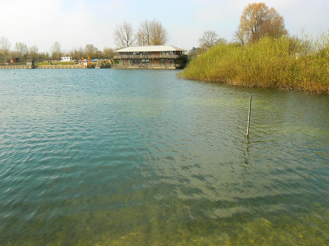
Visitor centre, Keynes country park, Somerford Keynes. The visitor centre is on the far bank of the lake formed from old mineral workings. It is now a leisure destination with facilities such as children's play areas, a volleyball court and boating provision. It is also popular with dog walkers. You have to pay to visit.
Shorncote Spiral, Keynes country park, Somerford Keynes. This is a living sculpture. The small enclosures are formed from willow saplings. This year's leaves are just breaking so it should look better in a few weeks. The spiral is the work of a community artist named John C Kimberley. It is located on the north-eastern bank of the lake that is the main feature of this square and which can be seen in the background.
Millennium Building, Keynes Country Park. The Millennium Building is the park headquarters. It is the building on the right, not the agricultural one behind that has caught the sunlight. The Millennium Building uses the lake as a heat source, via a small heat pump. The lake is used for swimming, windsurfing and fishing in this very popular park.
Footpath on the eastern bank. The park is a leisure destination based around a lake formed from old mineral workings. There are several walks available. The facility is popular with dog walkers. This view is across the western gridline of this square.


