Croft Ambrey Hill Walk
![]()
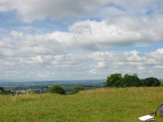
![]() Climb to this Iron Age Hill Fort and enjoy great views over the Herefordshire countryside on this circular walk. The walk starts from the National Trust's Croft Castle car park.
Climb to this Iron Age Hill Fort and enjoy great views over the Herefordshire countryside on this circular walk. The walk starts from the National Trust's Croft Castle car park.
You can explore the beautiful parkland and gardens surrounding the castle before starting your climb to the fort. The route takes you through Croft Wood with its ancient woodland consisting of Spanish chestnut trees. At the top of the hill you can follow footpaths around the fort and enjoy wonderful views to the Welsh hills and mountains.
To extend your walk you can follow the Mortimer Trail north to Mortimer Forest and the splendid viewpoint at High Vinnalls, near Ludlow.
You can also further explore the 1500 acres of parkland and farmland on the Croft Castle estate. At the 19th century Fish Pool Valley you can enjoy pretty streams and Oak, Ash, Willow, Poplar and Evergreen woodland. There's also some nice trails to follow through the heathland of the adjacent Bircher Common.
Postcode
HR6 9PW - Please note: Postcode may be approximate for some rural locationsCroft Ambrey Ordnance Survey Map  - view and print off detailed OS map
Croft Ambrey Open Street Map  - view and print off detailed map
Croft Ambrey OS Map  - Mobile GPS OS Map with Location tracking
Croft Ambrey Open Street Map  - Mobile GPS Map with Location tracking
Further Information and Other Local Ideas
A few miles to the east of the common you can try the circular Tenbury Wells Walk which takes you around the countryside to the south of the nearby town.
Just to the south west of the fort there's the pretty village of Shobdon where you can try the Shobdon Circular Walk. The picturesque village includes the grounds of the 18th century Shobdon Court with a number of pretty pools to see. There's also the historic Bateman Arms pub which dates from 1750.
To the north there's the worthy village of Leintwardine to visit. There's some nice river trails along the Teme and the Clun which converge at the former Roman settlement. There's also a historic ancient bridge and two fine old pubs to investigate afterwards. Near here there's also the noteworthy Downton Gorge. The limestone gorge is located on the River Teme and contains some nice woodland trails with interesting rock formations and a variety of flora and fauna.
To the north west you can visit the town of Presteigne in Powys. There are some pleasant trails along the River Lugg here.
For more walking ideas in the area see the Herefordshire Walks page.
Cycle Routes and Walking Routes Nearby
Photos
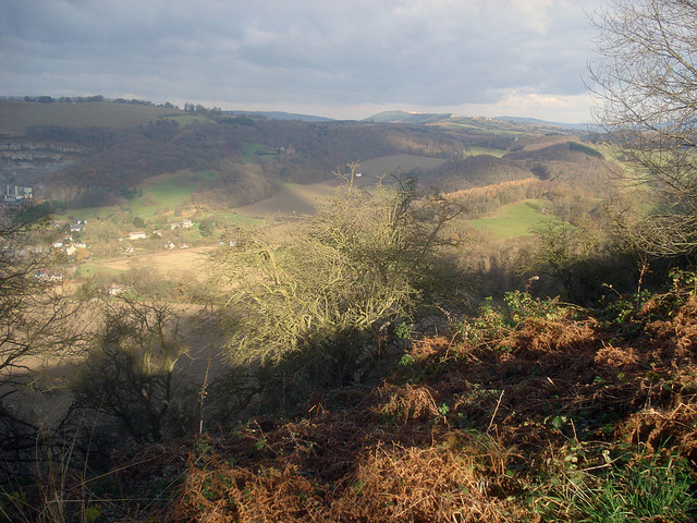
Northern edge of the fort. View from the hillfort's steep northern slopes towards the stone quarry at Leinthall Earls.
Croft Ambrey hillside. North-east view over the hills south of Ludlow. The north side of the hill fort is very steep and leads down to the small valley around Leinthall Earls, the village on the left. Just beyond is the large active quarry, which produces building and road stone from the Silurian Limestone hillside.


