Diss Walks
![]()
![]() The attractive market town of Diss has some nice options for walkers with the pretty mere and the River Waveney in the vicinity. This circular walk uses a section of the Angles Way long distance trail to take you to the Roydon Fen and the Wortham Ling Nature Reserves. It's about a 4 mile route, taking place on easy flat footpaths and country lanes.
The attractive market town of Diss has some nice options for walkers with the pretty mere and the River Waveney in the vicinity. This circular walk uses a section of the Angles Way long distance trail to take you to the Roydon Fen and the Wortham Ling Nature Reserves. It's about a 4 mile route, taking place on easy flat footpaths and country lanes.
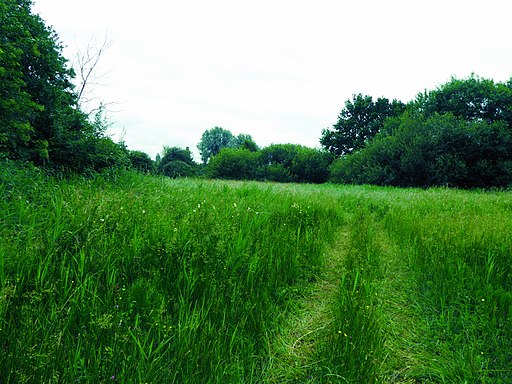
The walk starts in the town centre next to the mere. From here you can pick up the Angles Way and follow it west to Roydon Fen. The footpaths take you through the reserve where you can see typical fen plants such as marsh helleborine, marsh fragrant orchid and sawsedge.
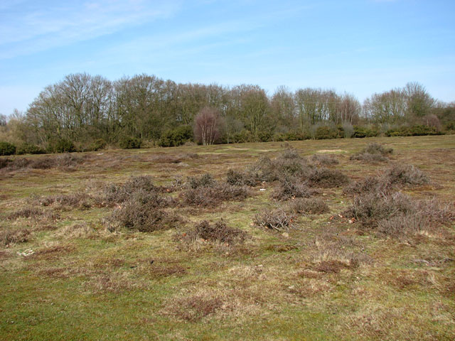
The path continues to Wortham Ling where there are more nice trails to follow. The reserve includes acid grassland and dry heath on a sandy soil. Look out for wildlife including rabbits and butterflies in this area.
After exploring the reserve the route follows country lanes back into Diss.
To extend the walk you could continue west along the Angles Way and visit the lovely Redgrave and Lopham Fen Nature Reserve. Covering an area of 125 hectares, it is the largest remaining area of river valley fen in England. The reserve includes lots of wildlife with the Konik ponies of particular interest.
The Boudicca Way long distance trail also starts in Diss. The trail runs all the way to Norwich, passing Shotesham, Saxlingham Nethergate and Pulham Market on the way.
Diss Ordnance Survey Map  - view and print off detailed OS map
Diss Open Street Map  - view and print off detailed map
Diss OS Map  - Mobile GPS OS Map with Location tracking
Diss Open Street Map  - Mobile GPS Map with Location tracking
Pubs/Cafes
The Waterfront Inn is in a lovely spot next to Diss Mere. You can sit outside on the balcony and enjoy great views across the water with your meal. The address is 43 Mere Street with postcode IP22 4AG for your sat navs. There's also The Cock Inn on Fair Green. The 500 year old pub does great food and has a nice cosy fire indoors. You can find them at 63 Denmark St, Fair Green with postcode IP22 4BE. They are dog friendly if you have your canine friend with you.
Further Information and Other Local Ideas
Head east and you could pick up the Mid Suffolk Footpath at Hoxne, near Billingford. The trail will take you south to the nearby town of Eye where you can visit the 11th century Norman castle and a particularly fine 16th century pub. Near here there's also the noteworthy village of Thornham Magna where you can try the Thornham Walks on the old Thornham Estate. The estate is a great place for easy walks with pleasant woodland trails and a particularly lovely walled garden.
Cycle Routes and Walking Routes Nearby
Photos
Fountain on Diss Mere. The fountain on Diss Mere was presented to the town by Diss Rotary Club in June 2005 to celebrate the Centenary of the Rotary movement. The fountain enhances the beauty of the Mere and also oxygenates the water for the benefit of resident wildlife, especially the fish. The building in the background is Diss Baptist Church.


