Walks in Egham - Egham to Runnymede Walk

 This pleasant university town in Surrey is a nice place to explore on foot. The Thames River is nearby as is one of the most significant historic places in the country.
This circular walk takes you from the town to one of the highlights of the area at Runnymede before heading to the Thames for a waterside stroll.
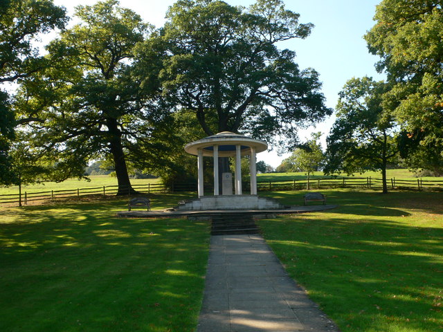
The walk starts from Egham train station and heads north through the town to Runnymede Park. Here you can learn about the history of the Magna Carte which was agreed by King John at Runnymede on the 15th June 1215. It promised the protection of church rights, protection for the barons from illegal imprisonment, access to swift justice, and limitations on feudal payments to the Crown.
You can then pick up a section of the Thames Path National Trail and visit the Runnymede riverside park near the town. There's a cafe, picnic area and bandstand in this area.
Postcode
TW20 9EA - Please note: Postcode may be approximate for some rural locationsEgham Ordnance Survey Map  - view and print off detailed OS map
Egham Open Street Map  - view and print off detailed map
Egham OS Map  - Mobile GPS OS Map with Location tracking
Egham Open Street Map  - Mobile GPS Map with Location tracking
Walks near Egham
- Runnymede - Visit the birthplace of the Magna Carta on this riverside walk near Egham in Surrey
- Staines Moor - This walk takes you across the Staines Moor Site of Special Scientific Interest in Surrey
- Thames Path - Starting at the Source of the Thames at Thames Head in Gloucestershire, follow the iconic river through beautiful countryside and historic towns to the city of London.
- Windsor Great Park - A circular cycle or walk around the beautiful Windsor Great Park in Surrey
- Colne Valley Way - Travel through the Colne Valley on this walk from Staines to Uxbridge.
The walk starts by the River Thames in Staines and begins with a lovely section around King George VI and Wraysbury Reservoirs that takes you to Colnbrook - Wraysbury - This pretty Berkshire village is located close to the River Thames near Windsor.
Pubs/Cafes
The Kings Arms is a good choice for some post walk refreshment. They have an area with a fully retractable roof, original features, and a fireplace. You can find them on the High Street at postcode TW20 9EA.
Further Information and Other Local Ideas
You could extend the walk by continuing east along the river to visit neighbouring Staines. Here you can enjoy a walk around Staines Moor and visit several of the local reservoirs.
Head to the other side of the river and you can visit the pretty village of Wraysbury. Here there's a nice walk to the National Trust's Ankerwycke where there's an ancient yew and a ruined priory to see.
For more walking ideas in the area see the Surrey Walks page.
Photos
Curving High Street in the historic town of Egham. The main through road now by-passes the High Street, leaving it a quieter place for shoppers and visitors.
Sculpture portraying King John and Baron Fitzwalter in the act of sealing the Magna Carta. Located in Egham town centre, Surrey, UK. Height approx 4 metres. constructed from Bath stone, brick, and Norwegian granite. The other side of the statue features the work of other people listed on a plaque on the statue. These people were members of a community group that undertook a group project of carved blocks with designs depicting scenes and items that the community associated with the History of the area since King John's era. The project was supervised by the sculptor.


