Exton Walk
![]()
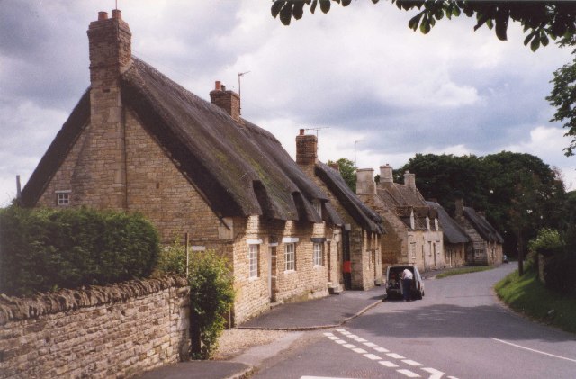
![]() This Rutland based village has some pleasant trails to follow through the parkland of the historic Exton Hall. There's also a particularly fine 17th century pub for rest and refreshment after your exercise.
This Rutland based village has some pleasant trails to follow through the parkland of the historic Exton Hall. There's also a particularly fine 17th century pub for rest and refreshment after your exercise.
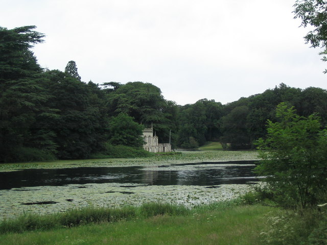
This circular walk from the village takes you through Exton Park to visit Fort Henry Lake. The walk starts in the village where you can pick up the Viking Way. Follow the waymarked footpath north east and it will take you to Tunneley Wood in Exton Park. Here you can pick up a bridle track and follow it south east to visit the two pretty lakes at Fort Henry. The route then follows an alternative bridleway back to the village.
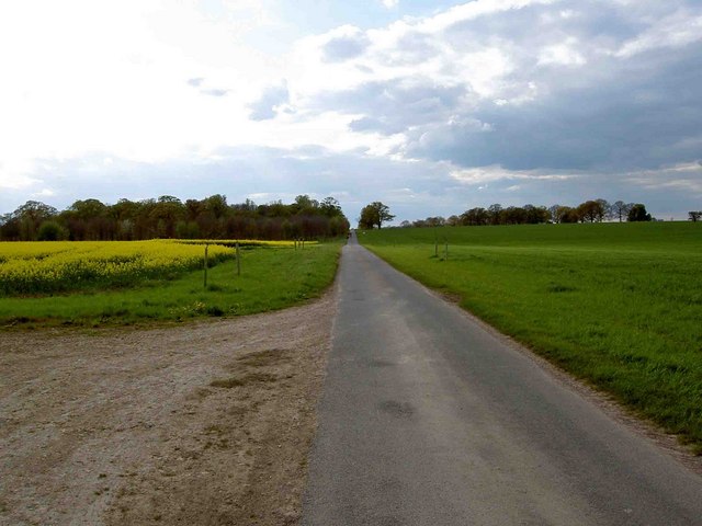
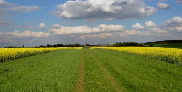
The flat bridle paths on the trail are ideal for easy walking with some pleasant farmland views to enjoy on the walk.
To extend your walk follow the Viking Way south to visit Rutland Water. There's miles of great cycling and walking trails around the expansive lake which is one of the highlights of the county.
Exton Ordnance Survey Map  - view and print off detailed OS map
Exton Open Street Map  - view and print off detailed map
Exton OS Map  - Mobile GPS OS Map with Location tracking
Exton Open Street Map  - Mobile GPS Map with Location tracking
Walks near Exton
- Viking Way - Follow in the footsteps of the Norse invaders on this long distance walk from the Humber Bridge to Oakham in Rutland
- Rutland Water - This splendid Nature Reserve has a fabulous cycling and walking path around the perimeter of the huge artificial lake
- Rutland Round - Explore the peaceful countryside of Rutland on this delightful circular walk
- Eyebrook Reservoir - Enjoy a stroll alongside this lovely reservoir near Corby
- Uppingham - The town of Uppingham is located in a pleasant position in Rutland
- Oakham - Oakham is the county town of Rutland and located in a lovely spot with miles of country trails and the wonderful Rutland Water nearby
- Stamford - The Lincolnshire town of Stamford has a number of good options for walkers visiting the area
- Twyford Wood - This wood near Grantham has miles of footpaths taking you to conifer woodland, grassland and the lovely Twyford Wood butterfly glades
- Empingham - This Rutland based village sits very close to the Rutland Water dam with its waterside walking and cycling routes.
- Clipsham - This walk explores the lovely Yew Tree Avenue in the Rutland village of Clipsham.
Pubs/Cafes
Back in the village there's the Fox and Hounds for some post walk refreshments. The attractive 17th century coaching inn overlooks the village green in the village. There's a cosy interior with a real log fire and a stunning English country garden for warmer weather. You can find them at postcode LE15 8AP for your sat navs.
Dog Walking
The parkland and woodland trails make for a fine dog walk. The Fox and Hounds mentioned above is also dog friendly.
Further Information and Other Local Ideas
Barnsdale Gardens are located just south west of the village. The beautiful gardens were created by former Gardener's World presenter Geoff Hamilton during the 1980s and 1990s. They are now open to the public and include Britain's largest collection of individually designed gardens. Highlights are the ornamental kitchen garden, a cottage garden and the Versailles garden.
Head a few miles to the north and you'll find some peaceful woodland trails around Twyford Wood in Colsterworth.
Just south there's neighbouring Empingham where you can enjoy a stroll down to the dam at Rutland Water.
Just to the north there's Clipsham where you can enjoy a stroll along the tranquil Yew Tree Avenue with its splendid topiary. The pretty village also includes an award winning pub for refreshments afterwards.
For more walking ideas in the area see the Rutland Walks page.
Photos
The Church of St Peter and St Paul is in the grounds of the big mansion of the parish, Exton Park. It has a 14C steeple of unusual outline, having an octagonal stage between the pinnacles and the spire. The church was thoroughly restored in 1850 after being damaged by lightning in 1843, and has had a Victorian appearance although 13C work is incorporated. There is an important collection of monuments from the 14C to the 18C, possibly the most beautiful being a recumbent sculpture of Anne, wife of Lord Bruce of Kinross, d.1627.


