Falkirk to Polmont and Linlithgow Canal Walk
![]()
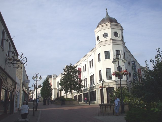
![]() This large town is located in the River Forth Valley in the Central Lowlands of Scotland.
This large town is located in the River Forth Valley in the Central Lowlands of Scotland.
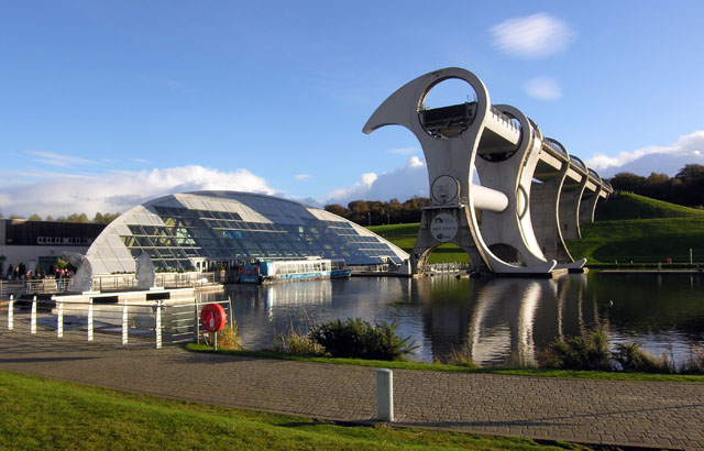
There's some fine waterside walks along the Forth and Clyde Canal including the popular Falkirk Wheel to Kelpies Walk which visits two of the highlights of the area. There's also some excellent local country parks to explore including Beecraigs Country Park and Muiravonside Country Park.
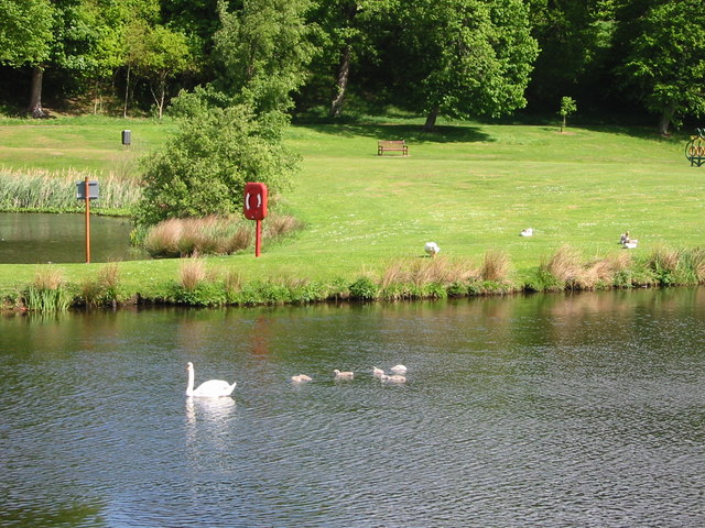
This walk from the town takes you along a section of the Union Canal to neighbouring Linlithgow where you can visit the lovely Linlithgow Loch. You'll also pass close to the Callendar Park. The historic 14th century house is surrounded by 100s of acres of woodland and parkland trails. There's also a section of the Roman Antonine Wall which is classed as a UNESCO World Heritage site.
Falkirk Ordnance Survey Map  - view and print off detailed OS map
Falkirk Open Street Map  - view and print off detailed map
*New* - Walks and Cycle Routes Near Me Map - Waymarked Routes and Mountain Bike Trails>>
Falkirk OS Map  - Mobile GPS OS Map with Location tracking
Falkirk Open Street Map  - Mobile GPS Map with Location tracking
Walks near Falkirk
- Falkirk Wheel to Kelpies Walk - This walk visits two of the major highlights on the Forth and Clyde Canal in central Scotland
- Beecraigs Country Park - Enjoy a peaceful cycle or walk around this beautiful country park in Linlithgow, West Lothian
- Plean Country Park - Enjoy peaceful walking and cycling trails in this large country park in Stirling
- Palacerigg Country Park - Enjoy miles of walking and cycling trails through this large country park in Cumbernauld
- Blackness Castle - This circular walk explores the dramatic Blackness Castle on the Firth of Forth in Linlithgow.
- Banton Loch - This walk visits Banton Loch on the lovely Colzium Estate near Kilsyth
- Carron Valley Reservoir - Enjoy a lovely woodland trail along Carron Valley Reservoir on this easy walk near Stirling
- Lochcote Reservoir - This walk in West Lothian visits the Lochcote Reservoir before a climb to the viewpoint on Cockleroy Hill.
- Torwood Castle and Tappoch Broch - This circular walk visits Torwood Castle and the Iron Age Tappoch Broch near Falkirk in the Central Lowlands of Scotland.
- Cairnpapple Hill - This walk climbs to Cairnpapple Hill near Bathgate in West Lothian.


