Fan Hir Walk

 This walk climbs to Fan Hir in the Brecon Beacons National Park. The hill is located at the eastern end of the Black Mountain and makes for an excellent ridge top walk.
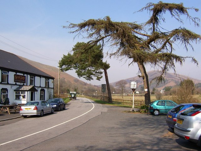
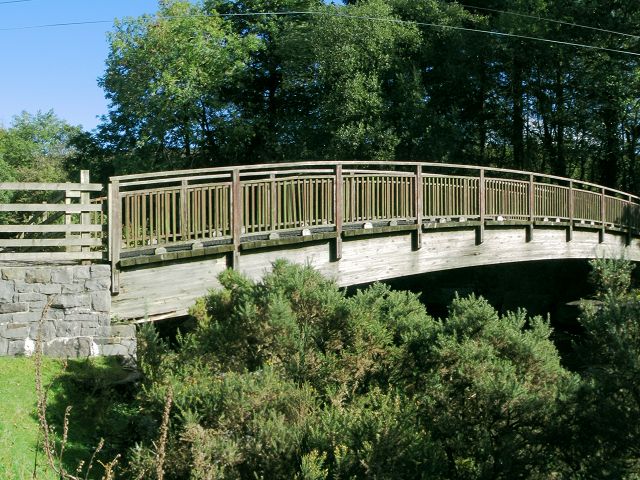
The walk starts from the Gwyn Arms pub in Glyntawe, just to the south of Fan Hir. You can then pick up a section of the long distance Cambrian Way and follow the waymarked footpath up to the hill top, crossing the River Tawe on the way. The peak stands at a height of 760 m (2,490 ft) commanding wonderful views over the surrounding lakes and mountains.
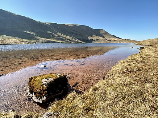
The route then goes on to visit Llyn Y Fan Fawr which lies just to the north of the hill. There's some lovely lakeside walks in this area and the option of continuing to Fan Hir's higher neighbour of Fan Brycheiniog.
The start point to the walk is very close to Dan yr Ogof and the National Showcaves of Wales where you can explore a wonderful 11 mile long cave system. There's also a shire horse centre, ancient stone circles, a dinosaur models park, and a victorian farm with llamas, Shetland Ponies and goats.
Postcode
SA9 1GP - Please note: Postcode may be approximate for some rural locationsFan Hir Ordnance Survey Map  - view and print off detailed OS map
Fan Hir Open Street Map  - view and print off detailed map
Fan Hir OS Map  - Mobile GPS OS Map with Location tracking
Fan Hir Open Street Map  - Mobile GPS Map with Location tracking
Pubs/Cafes
The walk starts from the Gwyn Arms where there's parking, a garden and good home cooked food to enjoy.


