Gamlingay Walks
3 miles (5.2 km)

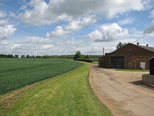
 This South Cambridgeshire village is located a few miles east of Sandy in a nice rural spot.
This walk from the village follows a section of the Clopton Way through the countryside to the nearby Potton Wood. The woods are a nice peaceful place for an easy stroll with lots of wildlife and bluebells in the spring.
Please scroll down for the full list of walks near and around Gamlingay. The detailed maps below also show a range of footpaths, bridleways and cycle paths in the area.
Gamlingay Ordnance Survey Map  - view and print off detailed OS map
Gamlingay Open Street Map  - view and print off detailed map
Gamlingay OS Map  - Mobile GPS OS Map with Location tracking
Gamlingay Open Street Map  - Mobile GPS Map with Location tracking
Walks near Gamlingay
- Clopton Way - This walk runs from Wimpole Hall to Gamlingay via the abandoned medieval village of Clopton
- Wimpole Hall - This 17th century country house near Cambridge is surrounded by 3,000 acres of parkland and farmland
- Potton Wood - These peaceful woods are located a couple of miles east of the small town of Potton in Bedfordshire.
- Biggleswade - This market town in Bedfordshire has fine trails along the peaceful River Ivel and some attractive local countryside to explore.
- Kingfisher Way - This is a delightful walk along the River Ivel from Baldock to Roxton
- Greensand Ridge Walk - A walk through Bedforshire, Buckinghamshire and Cambridgeshire from Leighton Buzzard to Gamlingay
- Baldock - This walk from Baldock visits two pretty nature reserves along the River Ivel which flows through the area
- St Neots - This pretty town in Cambridgeshire has some lovely country and riverside walks to try
- Ouse Valley Way - Follow the River Great Ouse from the source at Brackley, Northamptonshire, to the mouth at The Wash at King's Lynn
- Sandy - This Bedfordshire based market town has some nice waterside trails along the River Ivel and a significant local nature reserve to explore.
- Cambourne - This walk visits the Cambourne Nature Reserve before heading to the neighbouring villages of Caxton and Bourn.


