Cambourne Nature Reserve Walk
![]()
![]() This walk visits the Cambourne Nature Reserve before heading to the neighbouring villages of Caxton and Bourn.
This walk visits the Cambourne Nature Reserve before heading to the neighbouring villages of Caxton and Bourn.
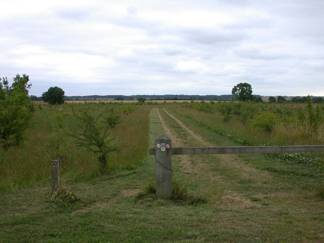
The reserve is located in the new Cambridgeshire village of Cambourne which was created in the 1990s. The area is very pleasant for walking with nice footpaths through the reserve and trails along the Bourn Brook to enjoy. It lies just to the west of the famous university city of Cambridge.
The walk begins at the nature reserve where car parking is available. There's pretty lakes, wildflower meadow, wetland and a large variety of wildlife to see here. Look out for badgers and deer in the woods and great crested newts in the ponds. Birds include skylark and meadow pipit with various wildfowl to be seen on the lakes.
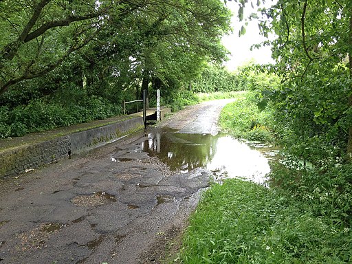
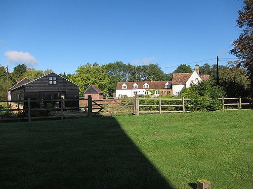
Follow the trails south west through the reserve and you can then follow the Crow Dean track to Caxton village.
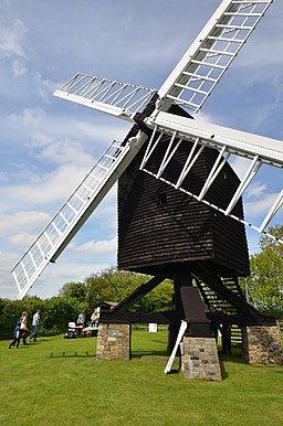
At the southern end of the village you can pick up a footpath along the Bourn Brook and follow it south east to visit Bourn. Here you can visit the ancient Bourn Windmill and enjoy refreshments at the local pub. The windmill is notable as the oldest surviving windmill in the United Kingdom. The Grade I listed mill dates back to 1636 and is open as a tourist attraction on certain days of the year.
Postcode
CB23 5BN - Please note: Postcode may be approximate for some rural locationsPlease click here for more information
Cambourne Ordnance Survey Map  - view and print off detailed OS map
Cambourne Open Street Map  - view and print off detailed map
Cambourne OS Map  - Mobile GPS OS Map with Location tracking
Cambourne Open Street Map  - Mobile GPS Map with Location tracking
Walks near Cambourne
- Cambridge Backs Walk - This circular city walk takes you around the highlights of Cambridge, visiting The Backs, a picturesque area where several colleges of the University of Cambridge back on to the River Cam
- Wimpole Hall - This 17th century country house near Cambridge is surrounded by 3,000 acres of parkland and farmland
- Hardwick Wood - This walk takes you from the Cambridgeshire village of Hardwick to the nearby Hardwick Wood Nature Reserve
- Haslingfield - This attractive village in South Cambridgeshire is a pleasant place for an easy riverside stroll
- Cambridge to St Ives along the Busway - Enjoy a walk or cycle along this disused railway line which now forms part of National Cycle Network Route 51
- Milton Country Park - This lovely park in Cambridge boasts nearly 100 acres of lakes and gardens interlaced with footpaths and cycle trails
- Anglesey Abbey - Explore 114 acres of beautiful gardens surrounding this Jacobean mansion in Cambridge
- Wandlebury Country Park - This walk takes you around the delightful Wandlebury Country Park in Cambridge
- Clopton Way - This walk runs from Wimpole Hall to Gamlingay via the abandoned medieval village of Clopton
- Gog Magog Hills - This walk explores the Gog Magog Downs, a ridge of low chalk hills extending for several miles to the southeast of Cambridge
- Shepreth - This South Cambridgeshire village is located south of Cambridge and north of Royston.
Pubs/Cafes
The Monkfield Arms is a nice place for some post exercise rest and refreshment. They serve a fine Sunday roast and other classic British meals. There's an attractive interior and a patio area if the sun is shining. You can find them in Great Cambourne at postcode CB23 6EY for your sat navs.
Dog Walking
The country and nature trails make for a pleasant dog walk. Please keep them under control in the nature reserve area because of the wildlife. The Monkfield Arms mentioned above is dog friendly in the outdoor area.
Further Information and Other Local Ideas
Head a few miles north of the village and you can pick up the Pathfinder Long Distance Walk at Elsworth.
Just to the east around Toft and Caldecote you can pick up the Harcamlow Way and the Wimpole Way. Both of these long distance trails can be followed east into Cambridge where you can try the popular Cambridge Backs Walk. Head south and you will soon come to Wimpole Hall where you'll find an 18th century country house surrounded by 3,000 acres of parkland and farmland. It's a major local highlight with extensive gardens, historic architecture and a farm with donkeys, shire horses and rare breed livestock. The Clopton Way also starts at the hall. This long distance trail will take you to Gamlingay via the abandoned medieval village of Clopton.
