Glasgow Canal Walk
![]()
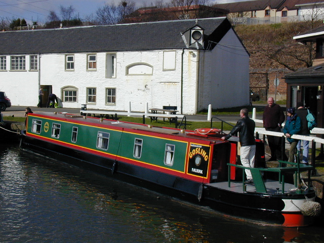
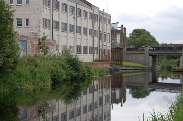
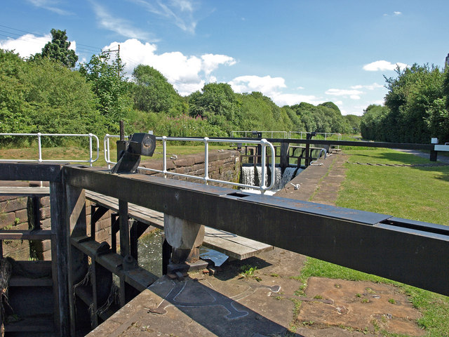
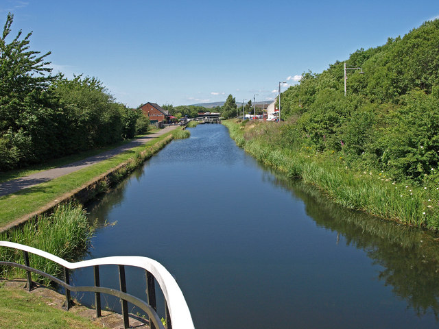
![]() This waterside walk takes you along the Forth and Clyde Canal from the centre of Glasgow to Clydebank. The walk runs for about 9 miles along a flat path, passing a number of locks and the Kelvin Aqueduct. At the end of the walk you can catch the train back to Glasgow.
This waterside walk takes you along the Forth and Clyde Canal from the centre of Glasgow to Clydebank. The walk runs for about 9 miles along a flat path, passing a number of locks and the Kelvin Aqueduct. At the end of the walk you can catch the train back to Glasgow.
The walk starts from the canal basin at Port Dundas and follows the canal north west, passing Firhill Park and Ruchill Park. At Maryhill you turn west towards Netherton, passing the Kelvin Aqueduct on the way. The navigable aqueduct carries the Forth and Clyde Canal over the River Kelvin.
You continue through Blairdardie, Old Drumchapel and Linnvale before coming to Clydebank. In the town you can enjoy views of the River Clyde and visit the Clyde Shopping Centre which incorporates a bridge over the Forth and Clyde Canal.
To extend the walk you can continue to Bowling where the canal terminates. Heading east from Glasgow will take you to Falkirk and the splendid Falkirk Wheel at the other end of the canal.
Also of interest is the popular Kelvin Walkway which follows the River Kelvin from Milngavie to the Glasgow Heliport on the River Clyde. You can pick up the trail at the Kelvin Aqueduct on the canal. At the cathedral next to the river you could pick up the popular Glasgow Murals Trail which showcases the talent of local artists.
Glasgow Canal Walk Ordnance Survey Map  - view and print off detailed OS map
Glasgow Canal Walk Open Street Map  - view and print off detailed map
Glasgow Canal Walk OS Map  - Mobile GPS OS Map with Location tracking
Glasgow Canal Walk Open Street Map  - Mobile GPS Map with Location tracking
Pubs/Cafes
At Dawsholm Park you'll pass Lock 27 where you'll find a nice canalside pub. There's an outdoor seating area right next to the water with lovely views. It's a great place to stop and relax during the summer months. The pub also has a good menu, a fine looking modern interior and is also dog friendly. You can find it right next to the canal in Anniesland at postcode G13 1JT. You could also leave the canal here and enjoy a stroll around the adjacent Dawsholm Park. The park covers an area of 81.5 acres, and consists mostly of woodland, with some grass and wildflower meadows in the southeast area of the park.
For a classic old pub in the city head to The Old Toll Bar in Kinning Park. This 19th century pub has a wonderfully restored interior with ornate wood panelling, antique photography, decorative mirrors and hand-painted stained glass windows. The place is very friendly and full of character and charm. You can find the pub on the southern side of the river in Kinning Park at 1 Paisley Rd West, with a postcode of G51 1LF for your sat navs.
Further Information and Other Local Ideas
Just to the east of the canal there's the picturesque
Hogganfield Loch to visit. The loch is part of the wider Seven Lochs Wetland Park, Scotland's largest urban heritage and nature park. It's a great area for walks and bird watching with several species visiting the lochs.
The Clyde Walkway is another great waterside option in the city centre. This will take you to Strathclyde Loch Country Park, Chatelherault Country Park and the photogenic ruins of the historic 13th century Bothwell Castle.


