Halstead Circular River Walk
![]()
![]() This Essex based town has some nice trails through the Colne Valley and some attractive local woods to visit.
This Essex based town has some nice trails through the Colne Valley and some attractive local woods to visit.
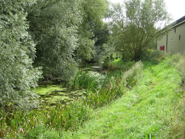
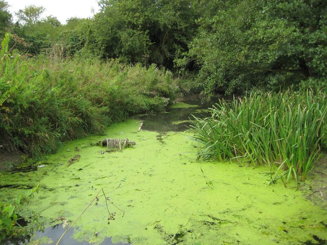
This circular walk visits the River Colne before heading to the nearby Broak's Wood to the west of the town.
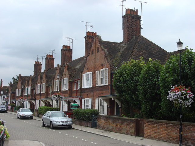
The walk starts in the town where you can pick up the Colne Valley Path and follow it north along the River Colne. It's a pleasant stroll through the town along the river where you'll pass the photogenic old Courtauld Mill. Wool and weaving provided the mainstay of Halstead business over the centuries. The picturesque Townsford Mill now holds a large antiques centre.
After about a mile you leave the river turn west to explore the woodland trails in Broaks Wood. This varied wood is run by the forestry comission and has a unique variety of tree species including a splendid Giant Redwood Grove. The ancient woods are a peaceful place for a walk near the town with 5 miles of trails to try.
The route then heads to Whiteash Green before following footpaths south east past Great Spansey Wood to the town. On the way you'll pass the Victorian style public gardens which is a nice place for an easy stroll in the town centre.
Halstead Ordnance Survey Map  - view and print off detailed OS map
Halstead Open Street Map  - view and print off detailed map
Halstead OS Map  - Mobile GPS OS Map with Location tracking
Halstead Open Street Map  - Mobile GPS Map with Location tracking
Pubs/Cafes
The White Hart Inn is a fine choice for some post walk refreshments. It's a pub of some note asone of the oldest Inns of Essex. It is housed in a medieval hall building that is believed to have been built in the thirteenth century. They do very good home cooked food and have an excellent selection of real ales. There's also an outdoor seating area for warmer weather. You can find the pub at 15 High Street with a postcode of CO9 2AA for your sat navs.
Dog Walking
The walk is a nice one to do with your dog, particularly the woodland trails in Broaks Wood. You're likely to see other owners with their dogs here on a fine day. The White Hart Inn mentioned above is also dog friendly.
Further Information and Other Local Ideas
If you continue north along the Colne Valley Path it will take you to Castle Hedingham where you can visit the historic Hedingham Castle. The castle is one of the best preserved Norman keeps in England. It's one of the highlights of the area and includes some lovely parkland.
Just to the west you'll find Gosfield Hall and Gosfield Lake. The 16th century hall is a Grade I listed building.


Pictured above the Norman keep at Hedingham and the pretty Gosfield Lake. Two attractions near to the town.
Follow the Colne Valley Path east will take you into Colchester, passing Chalkney Wood on the way. You can also link up with the Essex Way in this area.
A few miles to the south west you will find Braintree. There's some nice trails along the River Brain and River Blackwater here.
Head south east and you can visit the small town of Coggeshall. It's a fine place to explore with two historic National Trust Properties, two 16th century pubs and river trails along the River Blackwater.
Great Notley Country Park and Finchingfield are also not far away.
For more walking ideas in the area see the Essex Walks page.
Cycle Routes and Walking Routes Nearby
Photos
Halstead: Trackbed of the former Colne Valley Railway The Colne Valley Railway opened as far as Halstead in 1860 with the extension along here to Sible and Castle Hedingham following a year later. In 1961, exactly 100 years after the line opened, closure of the line to passenger traffic took place. Freight traffic lingered for another four years before the line closed entirely with the track being lifted in 1966. From a mapping point of view the Ordnance Survey 1:50,000 scale shows three parallel dashed lines along here, the centre black one representing this non-accessible route of the old railway with two red lines representing footpaths running alongside it on the far sides of the hedges seen here.


