Heybridge Basin Walk
![]()
![]() This easy waterside walk takes you from Heybridge Basin to the Chigborough Lakes Nature Reserve on the Blackwater Estuary in Essex. There's lovely views across the river estuary and lots of wildlife to look out for on the way. The route runs for 4 miles on flat footpaths. You can turn it into a longer circular walk by heading through the eastern part of Maldon and linking up with the Chelmer and Blackwater Navigation Canal.
This easy waterside walk takes you from Heybridge Basin to the Chigborough Lakes Nature Reserve on the Blackwater Estuary in Essex. There's lovely views across the river estuary and lots of wildlife to look out for on the way. The route runs for 4 miles on flat footpaths. You can turn it into a longer circular walk by heading through the eastern part of Maldon and linking up with the Chelmer and Blackwater Navigation Canal.
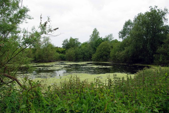
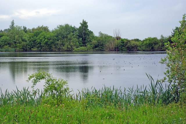
The walk starts at the car park next to the canal, to the east of the town. From here you can pick footpaths running along Collier's Reach with nice views towards Northey Island. Turn north to cross Goldhanger Road and you can enter the Chigborough Nature Reserve. The reserve is run by Essex Wildlife Trust and includes 2 km of circular walking trails. These will take you around a series of pretty lakes with Willow Carr, marshy areas, grazed grassland and scrub. It's a great place for birdwatching so keep your eyes peeled for Little Egret, Great Crested and Little Grebes, Grey Heron and Kingfisher as you make your way through the reserve.
After exploring the reserve the route returns to the estuary path where you can retrace your steps back to the car park.
To extend your walking in the area you could try our longer Blackwater Estuary Walk which starts from the same car park. This will take you all the way to Tollesbury on a nice flat path.
You could also try our Maldon Walk which visits the pretty Beeleigh Falls and Beeleigh Abbey.
Heybridge Basin Ordnance Survey Map  - view and print off detailed OS map
Heybridge Basin Open Street Map  - view and print off detailed map
Heybridge Basin OS Map  - Mobile GPS OS Map with Location tracking
Heybridge Basin Open Street Map  - Mobile GPS Map with Location tracking
Further Information and Other Local Ideas
Head east along the river path and you can visit the delightful village of Goldhanger. There's some nice trails here with a 14th century pub and noteworthy Norman church to see in the village.
For more walking ideas in the area see the Essex Walks page.


