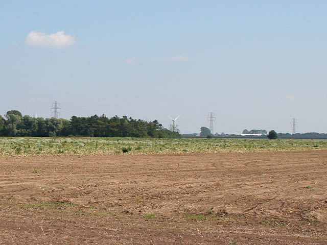
Holbeach Marsh
![]()
![]() This circular walk explores the Fenland area of Holbeach Marsh in Lincolnshire.
This circular walk explores the Fenland area of Holbeach Marsh in Lincolnshire.
The walk starts from the village of Holbeach St Marks. You can then follow a series of quiet country lanes around the marsh. Head north east and you will pass Somerset House and Christie Cottage before heading south east towards Newlands Cottage and Woodstock House. You then continue south towards Cowfield Gould before following Marsh Road up to Bertie Lodge and Holbeach St Marks. You can extend the walk by continuing north to follow coastal trails along The Wash.
Holbeach Marsh Ordnance Survey Map  - view and print off detailed OS map
Holbeach Marsh Open Street Map  - view and print off detailed map
Holbeach Marsh OS Map  - Mobile GPS OS Map with Location tracking
Holbeach Marsh Open Street Map  - Mobile GPS Map with Location tracking
Further Information and Other Local Ideas
Just to the west you'll find the town of Spalding where you enjoy walks along the River Welland and a visit to the Willow Tree Fen Nature Reserve.
To the north there's the Moulton Marsh Nature Reserve. The man-made reserve features woodland, lagoons, creeks, saltmarsh and nice trails along the River Welland.
For more walking ideas in the area see the Lincolnshire Walks page.
Cycle Routes and Walking Routes Nearby
Photos
Drain on Holbeach Marsh. One of the network of drains across the Fens. These deep ditches take the place of hedged, leading to a vast open flat landscape.


