Moulton Marsh and The River Welland
6 miles (9.5 km)

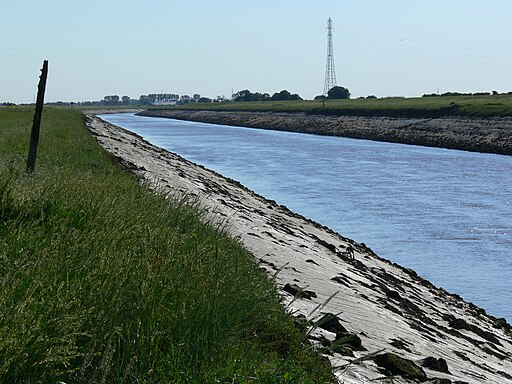
 This circular walk visits the Moulton Marsh Nature Reserve near Spalding in Lincolnshire. The wildlife rich reserve is located just to the east of the village of Fosdyke Bridge in The Wash.
The man made reserve includes some pleasant waterside walking trails along the River Welland. Other habitats include woodland, lagoons, creeks and saltmarsh. Keep your eyes peeled for a wide variety of wildlife including Water Rail, Little Grebe and Little Egret.
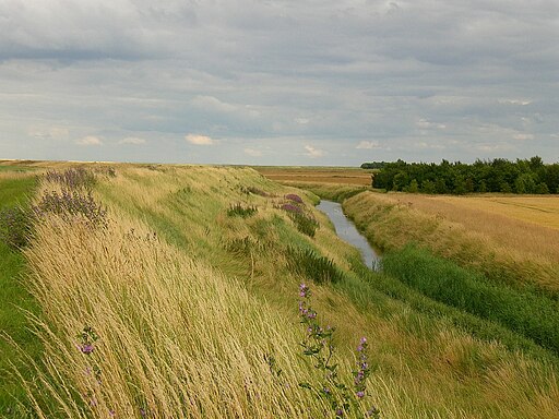
The walk continues east from the reserve along the Fosdkye sea bank before returning along the Old Sea Bank to create a circular walk.
To continue your walking in the area head south to visit Holbeach Marsh.
Postcode
PE12 6LL - Please note: Postcode may be approximate for some rural locationsPlease click here for more information


