Icknield Way Path

 The Icknield Way Path starts at Ivinghoe Beacon in Buckinghamshire and heads to Knettishall Heath in Suffolk along prehistoric pathways. There's fantastic views as you climb through the hills of the Chilterns AONB. There's also a series of lovely nature reserves and country parks to enjoy on the way.
Highlights on the walk include the Cam Valley views from Royston Heath, the lovely Dunstable Downs Country Park and the splendid Whipsnade Tree Cathedral.
The trail is mostly a walking trail but there are cycling opportunities as well. For example through Thetford Forest there are plenty of good off road trails to try. This is located near the Suffolk end of the path and is another route highlight.
Please click here for more information
Icknield Way Path Ordnance Survey Map  - view and print off detailed OS map
Icknield Way Path Open Street Map  - view and print off detailed map
Icknield Way Path OS Map  - Mobile GPS OS Map with Location tracking
Icknield Way Path Open Street Map  - Mobile GPS Map with Location tracking
Pubs/Cafes
In Wendover Woods you could stop off at the new on site Wendover Woods Cafe, located right next to the main car park, about half a mile north of the path. There's lots of tables outside where you can enjoy a meal with great views of the trees. It's a lovely spot to take the weight of your feet. They serve a wide range of tasty hot and cold locally sourced food (including daily specials), delicious cakes and freshly baked pastries, as well as a range of hot and cold Fairtrade drinks. Just to the north of the cafe there's a bookable BBQ area if you fancy bringing along your own food to cook. Just email wendoverbbq@forestryengland.uk for more info.
Stop off at Ickleford and you can visit the historic Old George. The pub dates back to the 15th century and includes a fine interior with an ancient inglenook fireplace. Outside there's a lovely courtyard garden and a terrace with fine views of the old village church. You can find them on the Arlesey Road at postcode SG5 3UX for your sat navs.
In the Hertfordshire village of Pirton The Motte and Bailey is a good choice. The pub is located in a nice spot overlooking the village green and includes a lovely large garden area with a pergola. You can find them at 1 Great Green with a postcode of SG5 3QD for your sat navs.
In Bedfordshire's Toddington there's the noteworthy Oddfellows Inn. The friendly old pub dates back over 700 years and is located in a nice spot on the Market Square at postcode LU5 6BP for your sat navs. There's a cosy interior and nice garden area for warmer weather.
In Therfield there's the noteworthy Fox and Duck. This award winning gastropub is located in a lovely spot on the green. The pub dates back to 1700 and includes a charming interior with a rustic and traditional feel. There's also a number of interesting historical artifacts donated by the Royston and District Museum. These include summarised accounts from 1900 to 1926 showing the impact of WW1 on the village pub.
The pub serves high quality food which you can enjoy in the garden area with views of the village. You can find them at postcode SG8 9PN for your sat navs.
At Tuddenham you can visit the historic Tuddenham Mill - an ancient watermill surrounded by 12 acres of gardens and Suffolk countryside. There is a high quality restaurant at the mill where you can sit outside by the river in a very picturesque location.
Just south of Tuddenham is Moulton where you can enjoy views of the River Kennet, visit the fine 14th century church and photograph the splendid medieval Packhorse Bridge. On the village green there's also the Packhorse Inn. They serve high quality food and also provide rooms if you'd like to stay in the area. The inn is located near the old bridge on Bridge Street at postcode CB8 8SP.
Cycle Routes and Walking Routes Nearby
Photos
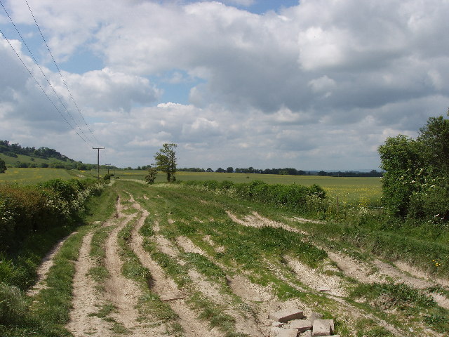
The Icknield Way in Spring. The Icknield Way as it passes along the edge of Dunstable Downs. Photo taken looking north east.
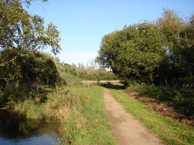
Icknield Way by Hill Farm, Lewknor. Icknield way runs below the Chilterns' Scarp, and forms part of The Ridgeway Long Distance Path.


