Ashwell Walks

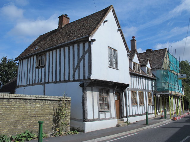
 This pretty village in North Hertfordshire has some nice country trails along the scarp of the Icknield Way Path. It also includes the Ashwell Springs, a biological Site of Special Scientific Interest, which is notable as a source of the River Cam. There's several fine old buildings too including a 14th century church and the excellent Ashwell Museum which is set in an historic timber frame building dating from the Tudor period.
This circular walk from the village explores the local countryside visiting the neighbouring villages of Steeple Morden and Guilden Morden.
The walk starts in the village and follows the Icknield Way Path north east towards Upper Gatley End. Here you turn north to follow a public footpath to Steeple Morden, passing the windmill on the way.
The route continues north to Guilden Morden before turning south west to link up with the Northfield Road country lane. Follow this south and it will take you back to Ashwell.
Ashwell Ordnance Survey Map  - view and print off detailed OS map
Ashwell Open Street Map  - view and print off detailed map
Ashwell OS Map  - Mobile GPS OS Map with Location tracking
Ashwell Open Street Map  - Mobile GPS Map with Location tracking
Walks near Ashwell
- Hertfordshire Chain Walk - The Hertfordshire Chain Walk is a series of circular walks running through Hertfordshire
- Stotfold - This is a lovely riverside walk to the picturesque Stotfold Mill in Bedfordshire near Baldock and Letchworth.
- Baldock - This walk from Baldock visits two pretty nature reserves along the River Ivel which flows through the area
- Hertfordshire Way - Explore some of the finest countryside and prettiest towns and villages in this fascinating county
- Hitchin - The Hertfordshire town of Hitchin makes a great base for exploring the lovely north eastern corner of the Chiltern Hills.
This walk visits the nearby Pegsdon Hills using a number of the waymarked long distance trails which pass through the area surrounding the town - Biggleswade - This market town in Bedfordshire has fine trails along the peaceful River Ivel and some attractive local countryside to explore.
- Letchworth - Letchworth Garden City is located in Hertfordshire near to Hitchin and Stevenage
- Arlesey - This small town in Bedfordshire is located close to two rivers where you can enjoy some easy waterside walking.
- Ickleford River and Nature Reserve Circular Walk - This attractive Hertfordshire based village is located just north of Hitchin on the west bank of the River Hiz
- Henlow - This Bedfordshire based village is known for its 12th century church and the Champneys Health farm which is used by the rich and famous
- Therfield - A circular walk from the village of Therfield in Hertfordshire
- Royston Heath - This large area of heathland is located just to the south west of the town of Royston in Hertfordshire
Further Information and Other Local Ideas
The long distance Hertfordshire Chain Walk can be picked up at Ashwell & Morden Train Station, to the south east of the village. The long distance waymarked trail provides an opportunity to further explore the area on foot. You could follow it south towards Kelshall and Therfield where you could explore the popular Royston Heath.
Head south west and you could visit Stotfold with its picturesque mill on the River Ivel. The Kingfisher Way can also be picked up here. Just west of Stotfold you'll find the small town of Arlesey where you can explore the Arlesey Old Moat Nature Reserve on the River Hiz. Near here there's Henlow where there's a noteworthy 12th century church and the Champneys Health farm which is used by the rich and famous.
For more walking ideas in the area see the Hertfordshire Walks page.
Photos
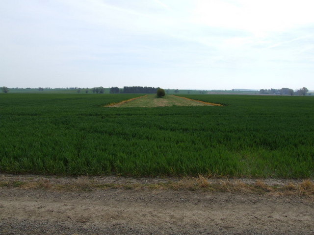
Icknield Way just east of the village. The Icknield Way is a long distance track that can claim to be "the oldest road in Britain". It extends from Ivinghoe Beacon in Buckinghamshire to Knettishall Heath Country Park in Norfolk


