Kings Langley Walks
![]()
![]() This attractive Hertfordshire based village has some nice canal and country trails to try. The settlement is also close to the Chilterns where there are numerous walking routes available.
This attractive Hertfordshire based village has some nice canal and country trails to try. The settlement is also close to the Chilterns where there are numerous walking routes available.
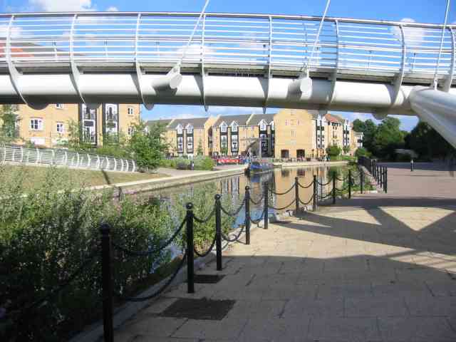
This circular walk from the village visits Kings Langley Common and a particularly lovely section of the Grand Union Canal which runs past the eastern side of the village.
The walk starts on the green space on the common and then heads east through the village to link up with the canal. You can follow the towpath south passing weirs, locks and a small fishing lake. The route then heads west along part of the Hertfordshire Way and then north to pass the site of the former Royal Palace and the Rudolf Steiner School. From here it is a short strol back to the common where the walk finishes.
The route passes very close to Kings Langley train station at its south eastern tip. This could make an alternative start point if you are coming by public transport.
Kings Langley Ordnance Survey Map  - view and print off detailed OS map
Kings Langley Open Street Map  - view and print off detailed map
Kings Langley OS Map  - Mobile GPS OS Map with Location tracking
Kings Langley Open Street Map  - Mobile GPS Map with Location tracking
Pubs/Cafes
The Rose and Crown is a good choice for some post walk refreshment. They serve good quality food and have a nice courtyard to sit out in during the summer months. There's a cosy interior too with open fires and wooden beams. You can find them at 60 High St, WD4 9HT.
Further Information and Other Local Ideas
To the west of the village there's a series of nice trails around the pretty Chipperfield Common to try.
You could also follow the canal towpath north to visit Hemel Hempstead.
For more walking ideas in the area see the Hertfordshire Walks page.
Cycle Routes and Walking Routes Nearby
Photos
Kings Langley Common. Viewed looking north eastwards from Love Lane, the red netting surrounds the cricket pitch.
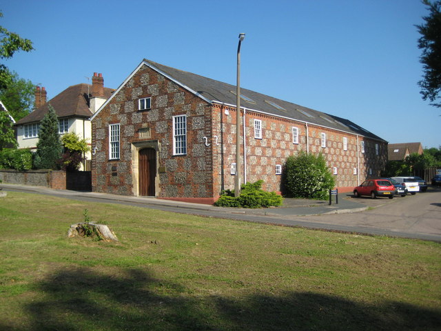
Kings Langley, Site of the former Royal Palace. The former Royal Palace at Kings Langley was built under the supervision of Eleanor of Castile (1241 - 1290), wife of King Edward I. It appears to have been started around 1276 and to have been completed by 1299. This is how the village of Langley got its epithet Kings. Edmund de Langley, the first Duke of York and fifth son of King Edward III, was born here in 1341. Around 1349, during the outbreak of plague, known as the Black Death, King Edward III used the Royal Palace as his seat of government away from London. The Palace seems to have fallen into disuse during the Wars of the Roses, and was demolished around 1469. Apart from occasional underground finds during construction works for the nearby Rudolf Steiner school nothing remains of the former structure. The Ordnance Survey 1:10,000 scale map shows the centre of the site to be in the rear gardens of the houses in the photograph, probably the second house from the right being where the actual symbol is. This photograph was taken from the footpath leading south.
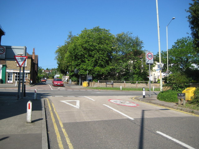
Kings Langley, The Nap. The Ordnance Survey 6" to the mile map of 1883 shows this road as the intriguingly named "The Nap", leading down from the High Street via Mill Lane to Langley Waterside. A street nameboard can just be seen in front of the yellow salt bin on the right.
High Street. At one time this road formed a section of the Sparrows Herne turnpike that ran between London and Aylesbury from 1762 to 1872. It later became part of the busy arterial A41 trunk road, but with the opening of the Kings Langley Bypass to the west of the village, the road was downgraded to the A4251 and now only carries local traffic.


