Lanty's Tarn Circular Walk
![]()
![]() This circular walk visits Lanty's Tarn from the village of Glenridding in the Lake District National Park.
This circular walk visits Lanty's Tarn from the village of Glenridding in the Lake District National Park.
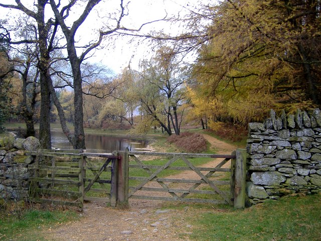
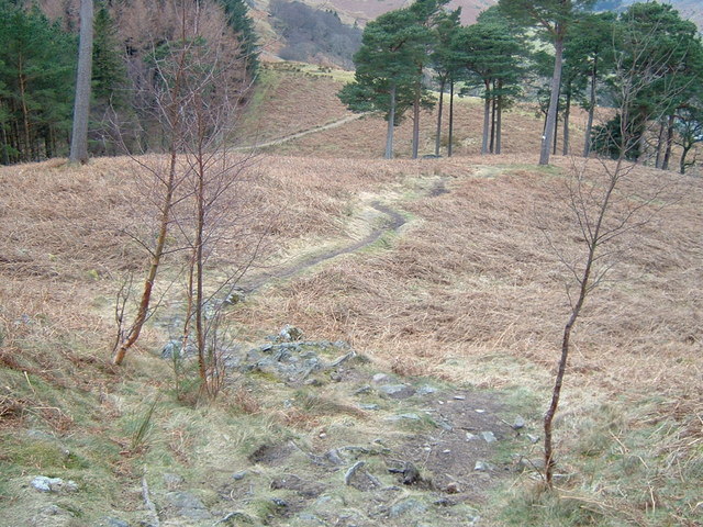
The pretty tarn sits just to the south of the village. You can follow footpaths up the site where there's a pleasant footpath along the secluded and peaceful tarn. The walk then heads west through the Brownend plantation towards the pretty Mires Beck.
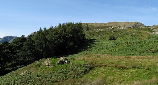
Along the way you can enjoy splendid views over Ullswater Lake and Grisedale.
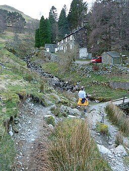
You then follow the Mires Beck north to Rattlebeck Bridge where you can pick up another waterside footpath along the Glenridding beck to return you to the village.
To extend the walk you could head west to visit Red Tarn on a longer, more challenging walk.
To continue your walking in the Glenridding area try the Glenridding to Aira Force Walk which visits a beautiful waterfall above the lake.
Lantys Tarn Ordnance Survey Map  - view and print off detailed OS map
Lantys Tarn Open Street Map  - view and print off detailed map
Lantys Tarn OS Map  - Mobile GPS OS Map with Location tracking
Lantys Tarn Open Street Map  - Mobile GPS Map with Location tracking
Cycle Routes and Walking Routes Nearby
Photos
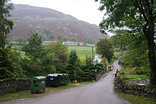
Lower Grisedale. From the path near the Kennels where the foxhounds were very quiet in the morning sun. There were still some dogs inspite of the ban. Eagle Crag and Dollywagon Pike can be seen in the distance.
