Red Tarn Walk
![]()
![]() This circular walk from Glenridding climbs to Red Tarn on the eastern flank of Helvellyn, beneath Striding Edge and Catstye Cam. It's a fairly challenging 6 mile route which reaches a height of over 2300ft at the heigh points. You can extend the walk by clmbing up to the Helvellyn peak from the tarn but this is a challenging scramble and only recommended for experienced climbers.
This circular walk from Glenridding climbs to Red Tarn on the eastern flank of Helvellyn, beneath Striding Edge and Catstye Cam. It's a fairly challenging 6 mile route which reaches a height of over 2300ft at the heigh points. You can extend the walk by clmbing up to the Helvellyn peak from the tarn but this is a challenging scramble and only recommended for experienced climbers.
The walk starts from the car park at Glenridding Bridge and follows footpaths south west to the lovely Lantys Tarn. The route then climbs to Hole-in-the-Wall with fine views of the fine countryside of Grisedale. Shortly after you come to Red Tarn, a popular resting spot for hikers on the way up to Helvellyn. The tarn was formed when the glacier that carved out the eastern side of Helvellyn had melted. The lake along with three others in Lake District is a habitat for the very rare and endangered Schelly fish. If you would like to continue to the Helvellyn peak you can head up to Swirral Edge next to the northern side of the tarn. It's a challenging section and will require good conditions and a head for heights.
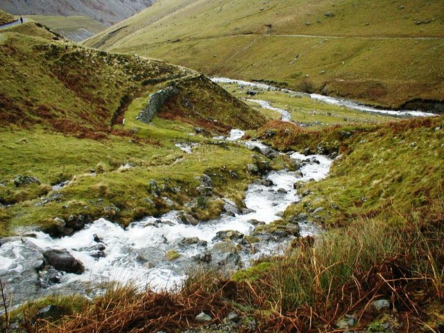
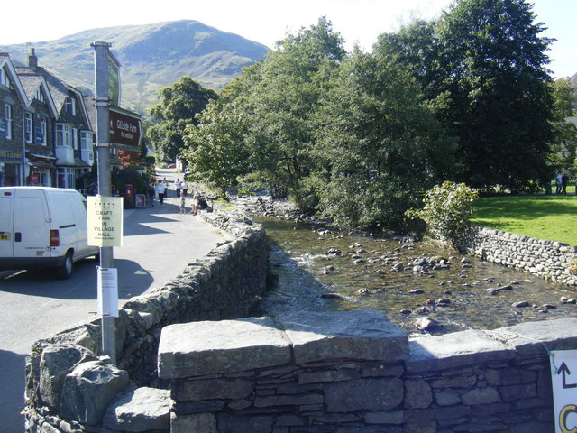
This route then descends along Red Tarn Beck on a path which sits in between Glenridding Common and Birkhouse Moor. You continue towards Glenridding Beck with pretty waterfalls to enjoy on the way. The descent continues toward Rattlebeck Bridge, with a final waterside stretch along the beck, taking you back into Glenridding.
To continue your walking in the area you could try the climb to Helvellyn from Thirlmere or visit a wonderful waterfall on the Glenridding to Aira Force Walk.


