Mobberley Walks

 This Cheshire based village is located near Knutsford and Wilmslow. It's a very pretty place with a 13th century church and historic 17th century timber framed homes. There's also several fine old pubs to visit including the Church Inn where this walk starts. The village is accessible by rail via Mobberley railway station on the Manchester to Chester line. It's located a little way north of the village though.
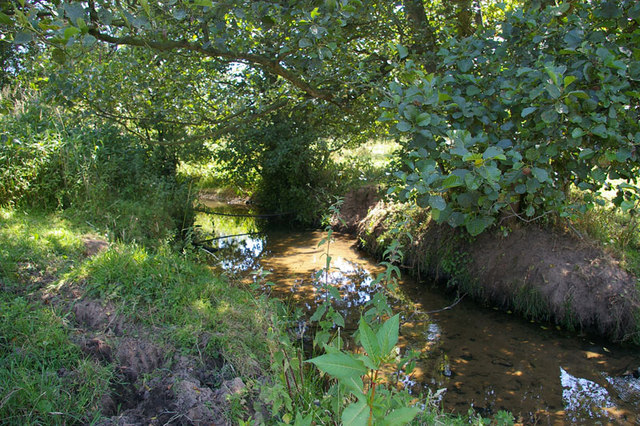
This circular walk from the village visits the Mobberley Nature Reserve where you'll find ponds and nice views of the pretty Pedley Brook. The walk starts in the village at the Church Inn pub where there's a decent sized car park. This 18th century pub is located in a lovely spot opposite the 13th century St Wilfrid’s Church. From here you head through the village to the countryside where you can pick up footpaths heading south towards the Pedley Brook. You turn east and then north to return to the village on another public footpath. It's a scenic area with views across the fields towards the famous telescope at Jodrell Bank.
Postcode
WA16 7RD - Please note: Postcode may be approximate for some rural locationsMobberley Ordnance Survey Map  - view and print off detailed OS map
Mobberley Open Street Map  - view and print off detailed map
Mobberley OS Map  - Mobile GPS OS Map with Location tracking
Mobberley Open Street Map  - Mobile GPS Map with Location tracking
Pubs/Cafes
The Church Inn at the start of the route does excellent food and has a garden area as well.
There's also the Bull's Head. The typical village pub does very good food including their signature Steak and ‘Wobbly Ale’ Pie. They also have a lovely garden area where you can sit outside on finer days. You can find them on Mill Lane Mill with a postcode of WA16 7HX for your sat navs.
There's also the Roe Buck close by to consider. It is set in a Grade II listed building dating back to 1708 and the oldest inn in the village. There's more great dishes and a beautiful terraced garden to enjoy here.
Dog Walking
The country trails are pleasant for a dog walk. The Church Inn, Roe Buck and Bull's Head pubs mentioned above are also dog friendly.
Further Information and Other Local Ideas
Mobberley is notable as the home of George Mallory, a mountaineer who died attempting Mount Everest. It is not known if Mallory reached the top and was descending when he perished, but he certainly went higher than other climbers had reached by that date.
A couple of miles west of the village you'll find one of the walking highlights of the area at Tatton Park. This expansive park has miles of woodland trails with several lakes and ponds to enjoy. There's also Italian and Japanese gardens and a rare breed farms at the attraction.
You can also explore the attractive neighbouring town of Knutsford on the Knutsford Walk. This will take you to a lovely local park before heading to Tatton Park and Rostherne Mere. The mere is a good place for wildlife watching with several species of bird visiting the tranquil lake.
To the east there's the lovely climb to Alderley Edge. There's peaceful woodland trails and wonderful views over the Cheshire Plain from the elevated position of the Edge.
The wonderful deer park at Dunham Massey and the waterside walk at Lymm Dam are also not far from the village.
The long distance North Cheshire Way also passes through the area. The waymarked path is a good way of exploring the county.
For more walking ideas in the area see the Cheshire Walks page.


