Newport Goldcliff Seawall Walk

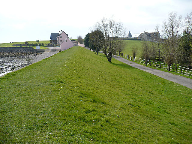
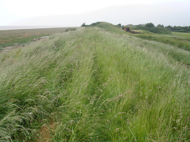
 This walk takes you along the sea wall from Goldcliff to Caldicot in the Newport area of South Wales. The flat grassy path runs for just under 10 miles, providing excellent views over the Severn Estuary.
The walk starts from the Farmers Arms pub in Goldcliff. There's a car park here or another public car park just to south near Elm Tree Farm and the sea wall.
From Goldcliff you can pick up trails heading south to the estuary. Here you can pick up the sea wall path heading east to Redwick, Magor Pill and Caldicot.
Here you can extend your outing by visiting the medieval Caldicot Castle.
For an alternative circular walk in the area, please see the Redwick Walk which starts from the nearby village of Redwick.
Postcode
NP18 2AU - Please note: Postcode may be approximate for some rural locationsNewport Seawall Ordnance Survey Map  - view and print off detailed OS map
Newport Seawall Open Street Map  - view and print off detailed map
Newport Seawall OS Map  - Mobile GPS OS Map with Location tracking
Newport Seawall Open Street Map  - Mobile GPS Map with Location tracking
Pubs/Cafes
The start point for the walk is the popular Farmers Arms pub at Goldcliff. They serve a lovely afternoon tea which you can enjoy outside in the large garden area. You can find them at postcode NP18 2AU for your sat navs.
There's also the Seawall Tearooms which sit right next to the estuary. They serve some delicious homemade cakes and can be found at postcode NP18 2PH, just south east of Goldcliff.


