Newport Gwent Levels Wetlands Walk
![]()
![]() This circular walk takes you around the beautiful Gwent Levels near Newport. The reserve covers 1,080 acres of the Caldicot Levels attracting a wide variety of wildlife. These include Cetti's warblers, Bearded Tits, Little Egrets and Little Grebes.
This circular walk takes you around the beautiful Gwent Levels near Newport. The reserve covers 1,080 acres of the Caldicot Levels attracting a wide variety of wildlife. These include Cetti's warblers, Bearded Tits, Little Egrets and Little Grebes.
There are well laid out footpaths taking you to ponds, reedbeds, grassland, lagoons and along the lovely Severn Estuary. On the Orchid walk you can look out for beautiful plants and flowers. The RSPB facilities are very good with a visitor centre, picnic areas, play areas and cafe.
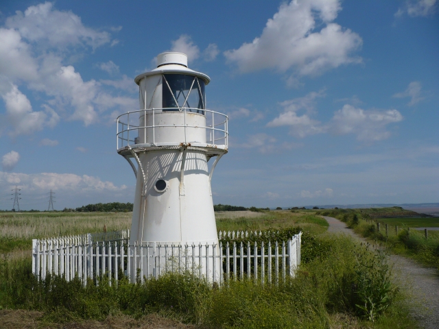
The section along the estuary and past the Usk Power Station is part of the National Cycle Network so you can bring your bike too! It's a lovely traffic free ride, passing the 19th century East Usk Lighthouse with views of the River Usk.
The reserve is located just a few miles south of Newport town centre. You can park at the reserve if coming by car or you could follow National Cycle Network Route 4 and other local cycle routes to the reserve.
Postcode
NP18 2BZ - Please note: Postcode may be approximate for some rural locationsPlease click here for more information
Newport Wetlands Ordnance Survey Map  - view and print off detailed OS map
Newport Wetlands Open Street Map  - view and print off detailed map
*New* - Walks and Cycle Routes Near Me Map - Waymarked Routes and Mountain Bike Trails>>
Newport Wetlands OS Map  - Mobile GPS OS Map with Location tracking
Newport Wetlands Open Street Map  - Mobile GPS Map with Location tracking
Dog Walking
You can bring your dog to the reserve and take them along a route around the perimeter of the reserve marked by pawprint signs. You can get a map from the visitor centre, where there are tethering rings and a drinking bowl at the entrance.
Further Information and Other Local Ideas
Head east and you can pick up the Redwick Circular Walk and visit the Newport Seawall around Goldcliff. The village of Redwick also includes a notable medieval church which is Grade I listed.
Cycle Routes and Walking Routes Nearby
Photos
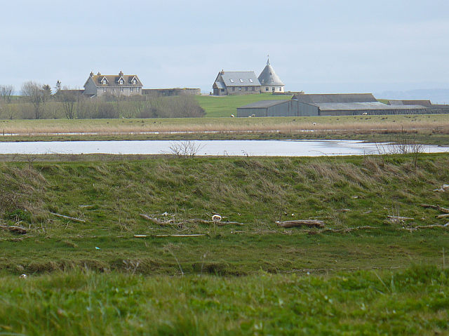
A view across the Goldcliff Lagoons towards Goldcliff Point on the horizon. Goldcliff Pill, which is tidal, is hidden by the bank in the foreground but the debris from a recent high tide is visible on the opposite bank.


