Orton Scar Walk
![]()
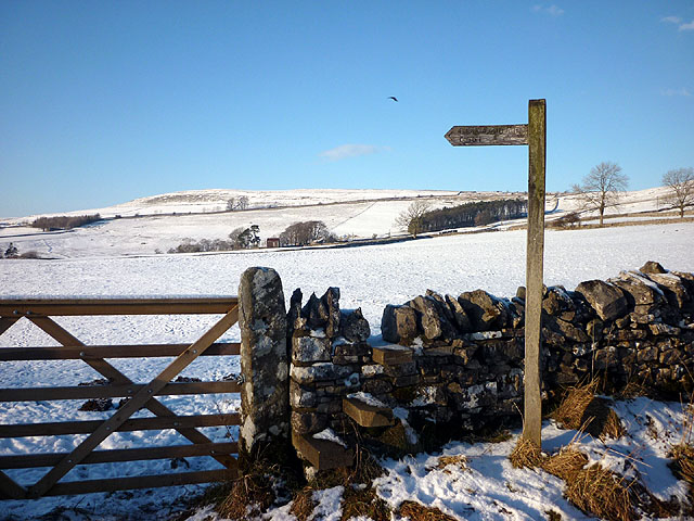
![]() This circular walk visits Orton Scar in Orton Fells in Cumbria. The area is an interesting place for a walk with limestone hills, plateaus and moorlands to explore.
This circular walk visits Orton Scar in Orton Fells in Cumbria. The area is an interesting place for a walk with limestone hills, plateaus and moorlands to explore.
You can start the walk from the pretty village of Orton which lies just to the south of the Scar. The historic little settlement includes a number of 17th century cottages and a church dating back to the 13th century.
From the village you can follow footpaths north for about a mile up to Orton Scar where there's some fine limestone pavement.
From here you then head east to climb to Beacon Hill. The hill stands at a height of 396 metres and includes the photogenic Jubilee Monument which was erected in 1887 for the Jubilee of Queen Victoria. From this elevated spot there are excellent views over the surrounding Howgills and Lake District Fells.
You can extend the walk by heading east from Beacon Hill to visit Great Asby Scar. The area has been designated as a national nature reserve and includes a wonderful stretch of limestone pavement.
Postcode
CA10 3RJ - Please note: Postcode may be approximate for some rural locationsOrton Scar Ordnance Survey Map  - view and print off detailed OS map
Orton Scar Open Street Map  - view and print off detailed map
Orton Scar OS Map  - Mobile GPS OS Map with Location tracking
Orton Scar Open Street Map  - Mobile GPS Map with Location tracking
Pubs/Cafes
The George Hotel is a nice place to enjoy some post walk refreshments. They have a nice terraced beer garden where you can enjoy a freshly prepared meal in the summer months.
You can find them on Front Street with postcode CA10 3RJ for your sat navs.
There's also the delightful Orton Scar Cafe where you may be tempted by the delicious range of cakes. You can find them at postcode CA10 3RQ.
Further Information and Other Local Ideas
The village is located on the epic Wainwright's Coast to Coast Walk. You could pick up this long distance trail to further explore the surrounding area. One nice idea is to follow it to the atmospheric ruins of the ancient Shap Abbey.
Head a few miles north and you could visit neighbouring Crosby Ravensworth and enjoy a circular walk up to Crosby Ravensworth Fell.
Head east and you could visit the picturesque Sunbiggin Tarn. The area is a designated Site of Special Scientific Interest (SSSI) which includes some splendid limestone pavement and a variety of interesting plants and flowers.
Cycle Routes and Walking Routes Nearby
Photos
Orton village. The village includes a small handmade-chocolate factory, a pretty Tearoom and several B&Bs.


