Parbold Fairy Glen
![]()
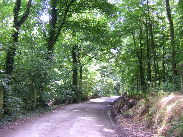
![]() This walk visits the delightful Fairy Glen near the Lancashire village of Parbold. It's a nice easy walk, starting from Parbold train station and heading east along the Leeds and Liverpool Canal. You follow the towpath for about a mile before crossing the canal and heading north east to the glen. It's a lovely little spot with pretty streams, beautiful waterfalls, dramatic cliff faces, wooden bridges and shady woodland trails.
This walk visits the delightful Fairy Glen near the Lancashire village of Parbold. It's a nice easy walk, starting from Parbold train station and heading east along the Leeds and Liverpool Canal. You follow the towpath for about a mile before crossing the canal and heading north east to the glen. It's a lovely little spot with pretty streams, beautiful waterfalls, dramatic cliff faces, wooden bridges and shady woodland trails.
It's great for flora and fauna with wild garlic, bluebells and various other wildlflowers to see.
If you prefer you could start the walk from Appley Bridge station which is just to the east of the site. If you are coming by car you can park at the lay by off the A5209 at the northern end of the glen (postcode WN6 9EQ). From here it is a short walk to the glen on the other side of the road.
To extend your walk you can enjoy a climb to the nearby Parbold Hill and enjoy wonderful views over the area. You could also continue south east along the canal to Gathurst, enjoying views of the River Douglas as you go.
Postcode
WN6 9EQ - Please note: Postcode may be approximate for some rural locationsParbold Fairy Glen Ordnance Survey Map  - view and print off detailed OS map
Parbold Fairy Glen Open Street Map  - view and print off detailed map
Parbold Fairy Glen OS Map  - Mobile GPS OS Map with Location tracking
Parbold Fairy Glen Open Street Map  - Mobile GPS Map with Location tracking
Further Information and Other Local Ideas
The circular Hunters Hill and Harrock Hill Walk starts near to the glen. It visits a fine viewpoint at Harrock Hill where there's also an interesting ruined windmill.
For more walking ideas in the area see the Lancashire Walks page.


