Mawdesley Walks
5 miles (8 km)

 This Lancashire based village is located near Croston and Parbold.
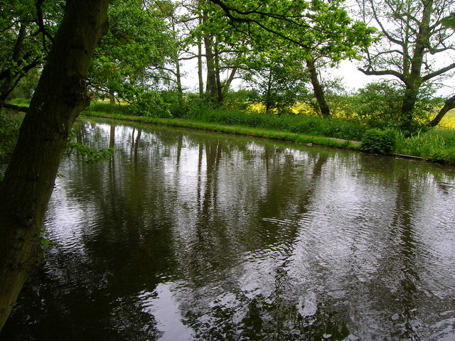
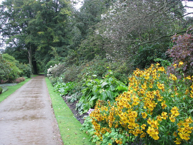
Local walking highlights include the lovely grounds of the ancient Rufford Old Hall and easy walks along the towpath of the Leeds and Liverpool Canal. This walk takes you to the old hall and the canal from the village. You can follow public footpaths west along the New Reed Brook to the site. Here you will find a National Trust owned black and white house dating to 1530. There's also lovely bluebell woods, pretty gardens and pleasant canalside trails to enjoy here.
Mawdesley Ordnance Survey Map  - view and print off detailed OS map
Mawdesley Open Street Map  - view and print off detailed map
Mawdesley OS Map  - Mobile GPS OS Map with Location tracking
Mawdesley Open Street Map  - Mobile GPS Map with Location tracking
Walks near Mawdesley
- Rufford Old Hall - This walk visits the National Trust's Rufford Old Hall in Lancashire
- Ormskirk - This West Lancashire based market town is in a good spot for exploring some fairly flat countryside
- Martin Mere - This wonderful nature reserve near Southport has lots of nice footpaths to follow around the wetland habitat
- Mere Sands Wood - Follow the footpaths around this delightful nature reserve on this circular walk in Rufford, Lancashire
- Leeds and Liverpool Canal - Enjoy waterside cycling and walking along Britain's longest single canal
- Burscough Canal Walk - A nice stroll along the Rufford Branch of the Leeds and Liverpool Canal to Rufford Hall from Burscough, Lancashire.
Burscough has two train stations so is easily reached by public transport - Appley Bridge Canal Walk - A waterside walk along the Leeds and Liverpool Canal from Appley Bridge to Burscough in Lancashire
- Croston - This rural Lancashire village sits in a lovely spot on the River Yarrow
- Parbold Fairy Glen - This walk visits the delightful Fairy Glen near the Lancashire village of Parbold
- Parbold Hill - This circular walk climbs to Parbold Hill from the village of Parbold in Lancashire
- Hunters Hill and Harrock Hill - This circular walk visits Hunters Hill and Harrock Hill near Parbold in Lancashire.
- Eccleston Delph - This walk visits the Eccleston Delph Watersports centre near the village of Eccleston in Lancashire.
- Aughton and Clieves Hill - The Lancashire village of Aughton is located just to the west of the market town of Ormskirk.
Further Information and Other Local Ideas
The delightful Parbold Fairy Glen and the viewpoint at Parbold Hill lie just to the south.
Just to the east is the watersports centre at Eccleston Delph where there's a lakeside footpath and a nice cafe.


