Croston Walks
![]()
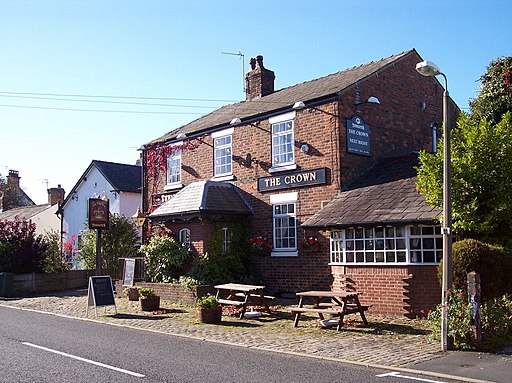
![]() This rural Lancashire village sits in a lovely spot on the River Yarrow. It's a pretty place with a picturesque village green and some nice local pubs.
This rural Lancashire village sits in a lovely spot on the River Yarrow. It's a pretty place with a picturesque village green and some nice local pubs.
This circular walk takes you along the River Yarrow and the River Douglas to the historic Rufford Old Hall. Here you can enjoy more waterside walking along the Leeds and Liverpool Canal.
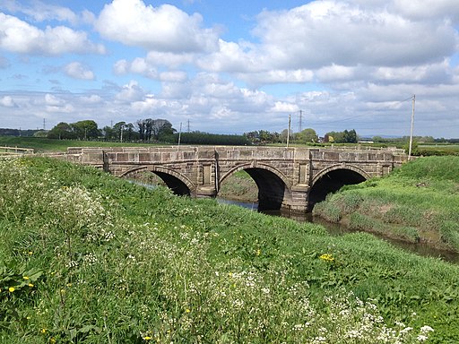
The walk start in the village and follows footpaths west along the Yarrow to its confluence with the River Douglas. You then head south along the river, passing Great Hanging Bridge before coming to Rufford where you cross the river on White Bridge. Here you can pick up the canal and follow it towards the National Trust owned hall. The fine black and white house dates back to 1530 and is surrounded by some lovely parkland, woodland and gardens.
Croston Ordnance Survey Map  - view and print off detailed OS map
Croston Open Street Map  - view and print off detailed map
Croston OS Map  - Mobile GPS OS Map with Location tracking
Croston Open Street Map  - Mobile GPS Map with Location tracking
Walks near Croston
- Rufford Old Hall - This walk visits the National Trust's Rufford Old Hall in Lancashire
- Ormskirk - This West Lancashire based market town is in a good spot for exploring some fairly flat countryside
- Martin Mere - This wonderful nature reserve near Southport has lots of nice footpaths to follow around the wetland habitat
- Mere Sands Wood - Follow the footpaths around this delightful nature reserve on this circular walk in Rufford, Lancashire
- Leeds and Liverpool Canal - Enjoy waterside cycling and walking along Britain's longest single canal
- Burscough Canal Walk - A nice stroll along the Rufford Branch of the Leeds and Liverpool Canal to Rufford Hall from Burscough, Lancashire.
Burscough has two train stations so is easily reached by public transport - Appley Bridge Canal Walk - A waterside walk along the Leeds and Liverpool Canal from Appley Bridge to Burscough in Lancashire
- Parbold Fairy Glen - This walk visits the delightful Fairy Glen near the Lancashire village of Parbold
- Parbold Hill - This circular walk climbs to Parbold Hill from the village of Parbold in Lancashire
- Leyland - This Lancashire based town has some fine local parks and country trails to explore.
- Mawdesley - This Lancashire based village is located near Croston and Parbold.
- Aughton and Clieves Hill - The Lancashire village of Aughton is located just to the west of the market town of Ormskirk.
Further Information and Other Local Ideas
To the north is Hesketh Bank where you can explore the RSPB's Hesketh Out Marshes Nature Reserve. The reserve is a great place for bird spotting on the Ribble Estuary.


