Penistone Hill Country Park
![]()
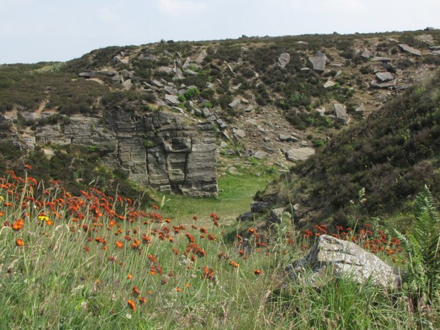
![]() Explore 179 acres of undulating grass and heather moorland in this lovely country park in Haworth. This circular walk takes you around the park and past Lower Laithe Reservoir. There are splendid views of the surrounding Yorkshire countryside. In Haworth you can visit the Bronte Parsonage Museum - the former home of the Bronte sisters. You could also continue your walk along the Bronte Way or Haworth-Hebden Bridge Walk.
Explore 179 acres of undulating grass and heather moorland in this lovely country park in Haworth. This circular walk takes you around the park and past Lower Laithe Reservoir. There are splendid views of the surrounding Yorkshire countryside. In Haworth you can visit the Bronte Parsonage Museum - the former home of the Bronte sisters. You could also continue your walk along the Bronte Way or Haworth-Hebden Bridge Walk.
If you follow the Bronte Way south west from the car park you will soon come to the Bronte Waterfall and Top Withens.
Postcode
BD22 9RH - Please note: Postcode may be approximate for some rural locationsPenistone Hill Country Park Ordnance Survey Map  - view and print off detailed OS map
Penistone Hill Country Park Open Street Map  - view and print off detailed map
Penistone Hill Country Park OS Map  - Mobile GPS OS Map with Location tracking
Penistone Hill Country Park Open Street Map  - Mobile GPS Map with Location tracking
Pubs/Cafes
The Fleece Inn is located just east of the park in Haworth. The historic former coaching inn is situated halfway up Haworth's steep cobbled main street. Uniquely, the beer garden is 3 storeys up from the bar on the roof terrace. It's a great place to sit outside and enjoy a view of the area. They serve quality food and can be found at postcode BD22 8DA. The inn is dog friendly.
Cycle Routes and Walking Routes Nearby
Photos
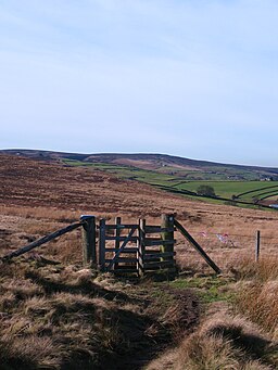
Penistone Hill Country Park and Lower Laithe Reservoir. The village beyond the reservoir is Stanbury, which lies in the adjacent square


