Plankey Mill

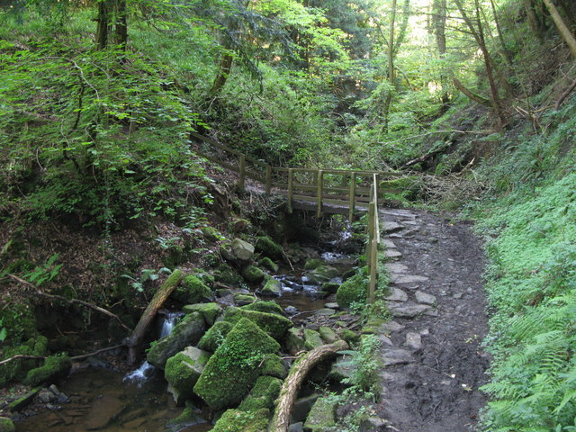
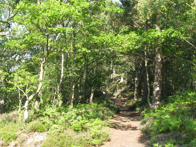
 This walk visits Plankey Mill near Hexham. There's some lovely trails through the wooded river gorge to the old mill and campsite.
The walk starts from the Allen Banks and Staward Gorge car park to the north of the site. You can then pick up footpaths heading south along the River Allen to the mill which is about a 1.5 mile walk.
The route then continues south to Staward Peel and Haltwhistle wood where there are some pretty waterfalls to see along the river.
Postcode
NE47 5ND - Please note: Postcode may be approximate for some rural locationsPlankey Mill Ordnance Survey Map  - view and print off detailed OS map
Plankey Mill Open Street Map  - view and print off detailed map
Plankey Mill OS Map  - Mobile GPS OS Map with Location tracking
Plankey Mill Open Street Map  - Mobile GPS Map with Location tracking
Further Information and Other Local Ideas
Head a few miles east along the river and you could pick up the Haydon Bridge Walk from the nearby village. The walk will take you to the historic Langley Castle which dates from the 14th century. In the village itself there's a fine 17th century inn and a noteworthy 14th century bridge over the river to see.
The site is located just a few miles south of one of the highlights of the area at Housesteads Roman Fort. Here you can explore the fascinating old fort and pick up the epic Hadrian's Wall Path.
Head south of the site and you can visit the village of Allendale. The stone built village is very pretty and was twice crowned Village of the Year for All England. There are some nice walks here along the River East Allen.
For more walking ideas in the area see the Northumberland Walks and North Pennines Walks pages.


