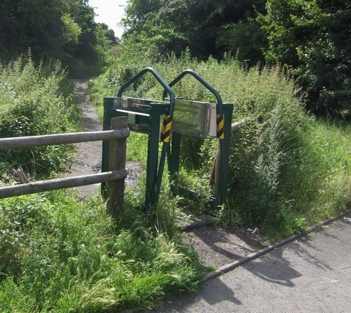
Rough Wood Country Park
1 mile (1.6 km)
![]()
![]() This walk explores Rough Wood Country Park in Willenhall, Walsall.
This walk explores Rough Wood Country Park in Willenhall, Walsall.
In the park you'll find a series of well maintained footpaths taking you around the attractive oak woodland with lots of interesting flora and fauna to see.
The Wyrley and Essington Canal runs right past the southern portion of the park so it's easy to extend your walk if you have time. Heading west would take you toward Wolverhampton while heading east would take you to Pelsall Common Nature Reserve, Park Lime Pits in Walsall.
Postcode
WV12 5HJ - Please note: Postcode may be approximate for some rural locationsRough Wood Country Park Ordnance Survey Map  - view and print off detailed OS map
Rough Wood Country Park Open Street Map  - view and print off detailed map
Rough Wood Country Park OS Map  - Mobile GPS OS Map with Location tracking
Rough Wood Country Park Open Street Map  - Mobile GPS Map with Location tracking
Dog Walking
The woodland and parkland trails are great for dogs so you'll probably meet other owners on your visit.
Cycle Routes and Walking Routes Nearby
Photos
Autumn has come to the woodland in the reserve. This is part of the Black Country Urban Forest and has a 1.1 mile circular health walk.


