Smardale Gill Viaduct Walk
![]()
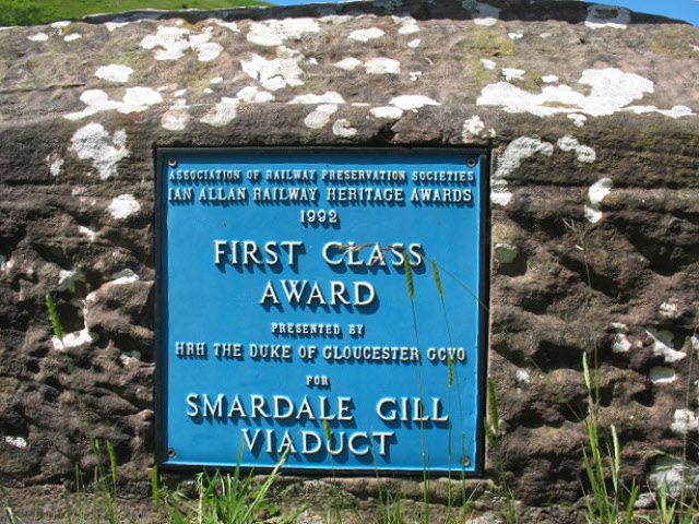
![]() This walk takes you through the pretty Smardale Gill along the trackbed of a disused railway line. It leads to the magnificent Smardale Viaduct. The viaduct was part of the South Durham and Lancashire Union Railway and has 14 arches, is 90 ft (27 m) high and 550 ft (170 m) long. It's an impressive sight with the structure surrounded by the lovely countryside of the Cumbrian hills and the pretty Smardale Beck which runs through the gill.
This walk takes you through the pretty Smardale Gill along the trackbed of a disused railway line. It leads to the magnificent Smardale Viaduct. The viaduct was part of the South Durham and Lancashire Union Railway and has 14 arches, is 90 ft (27 m) high and 550 ft (170 m) long. It's an impressive sight with the structure surrounded by the lovely countryside of the Cumbrian hills and the pretty Smardale Beck which runs through the gill.
The area is also a managed nature reserve with wildlflowers, woodland and grassland. Look out for flora such as bluebells, primrose and early purple orchid. Wildlife includes goldfinch, field fare and redwing with lots of butterflies around the wildflowers in the summer months. Red squirrels and roe deer can also be seen in the reserve.
To extend your walking in the area you could climb Smardale Fell or Crosby Garrett Fell for wonderful views over the surrounding area.
You can also approach the viaduct from the south from the pretty villages of Newbiggin On Lune and Ravenstonedale. In nearby Kirkby Stephen you can enjoy lovely walks along the River Eden.
Postcode
CA17 4HG - Please note: Postcode may be approximate for some rural locationsSmardale Gill Viadiuct Ordnance Survey Map  - view and print off detailed OS map
Smardale Gill Viadiuct Open Street Map  - view and print off detailed map
Smardale Gill Viadiuct OS Map  - Mobile GPS OS Map with Location tracking
Smardale Gill Viadiuct Open Street Map  - Mobile GPS Map with Location tracking
Pubs/Cafes
Head to the Black Swan in Ravenstonedale for some post walk refreshments. You can enjoy a meal outside in the lovely riverside garden, with resident red squirrels. There's an excellent menu and the hotel was awarded AA Pub of the year in 2012. You can find the pub at postcode CA17 4NG for your sat navs.
Further Information and Other Local Ideas
Near the site there's the interesting town of Brough to explore. Here you'll find the historic ruins of the 11th century Brough Castle and some nice trails along the Swindale Beck.
A few miles to the west there's the nearby village of Tebay where you will find riverside trails along the River Lune. The village is also known for its 16th century pub and the Tebay Motorway Services.
Head west and you could visit the picturesque Sunbiggin Tarn. The area is a designated Site of Special Scientific Interest (SSSI) which includes some splendid limestone pavement and a variety of interesting plants and flowers.
For more walking ideas in the area see the Howgills Walks page.
Cycle Routes and Walking Routes Nearby
Photos
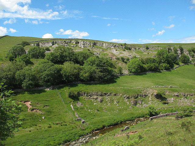
Abandoned sandstone quarries, Smardale Gill. Having no railway (or main road) access, these were on a much smaller scale from the limestone quarries across the valley, and were presumably used only as a source of local building stone.


