Newbiggin On Lune Walks

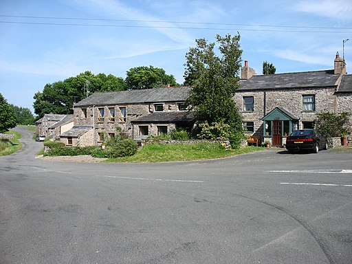
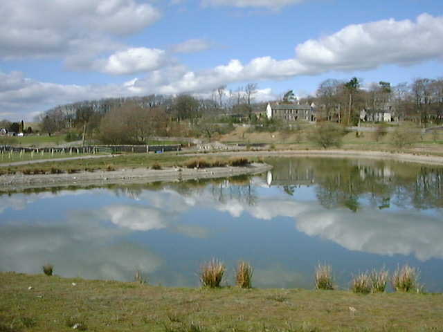
 This Cumbrian village is located just north west of Ravenstonedale in the Eden district of the county.
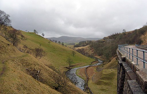
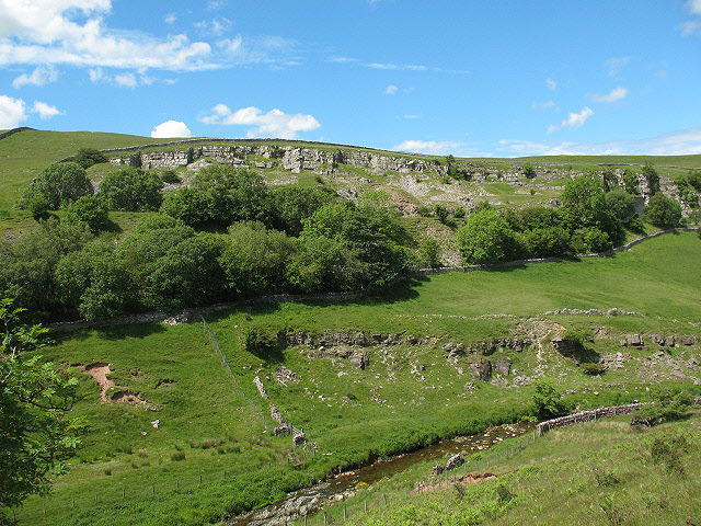
This walk from the village takes you north to visit one of the local highlights at Smardale Gill Viaduct. The area is a National Nature Reserve with wildlflowers, woodland and grassland. You can reach the site by following a disused railway line north from the village for about 2 miles.
To continue your walking in the area head south into the Howgills to climb to The Calf. It's a popular climb with fine views over the area to enjoy from the elevated spot.
The village is also located on the Dales High Way - a long distance waymarked trail exploring the beautiful Yorkshire Dales National Park.
Newbiggin On Lune Ordnance Survey Map  - view and print off detailed OS map
Newbiggin On Lune Open Street Map  - view and print off detailed map
Newbiggin On Lune OS Map  - Mobile GPS OS Map with Location tracking
Newbiggin On Lune Open Street Map  - Mobile GPS Map with Location tracking
Walks near Newbiggin On Lune
- Ravenstonedale - There are lots of nice walks to try around the pretty Cumbrian village of Ravenstonedale
- Kirkby Stephen River Circular - This circular walk takes you along a section of the Pennine Journey long distance trail before returning along the River Eden.
The small market town of Kirkby Stephen is located in Cumbria, near the border of the Yorkshire Dales National Park - Pennine Bridleway - This fabulous 120 mile long trail runs through the beautiful Derbyshire Peak District, through Lancashire and on into Yorkshire.
It is suitable for mountain bikers, horse riders and walkers taking you on a tour through some of the most beautiful parts of the country - Wild Boar Fell - This circular walk climbs Wild Boar Fell in the Mallerstang area of the Yorkshire Dales National Park
- Smardale Gill Viadiuct - This walk takes you through the pretty Smardale Gill along the trackbed of a disused railway line
- Mallerstang - This circular walk explores the Mallerstang area of Cumbria
- Pendragon Castle - This walk visits the ruins of the ancient Pendragon Castle in Mallerstang Dale, Cumbria
- Tebay - This Cumbrian village is located in a lovely spot in the Lune Valley at the head of the Lune Gorge
- The Calf from Sedbergh - Climb to the highest top in the Howgills on this challenging walk from Sedbergh
- Dales High Way - This long distance waymarked walk runs for about 90 miles across the beautiful countryside of the Yorkshire Dales.
Further Information and Other Local Ideas
For more walking ideas in the area see the Howgills Walks page.


