Somersham Walks
![]()
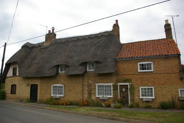
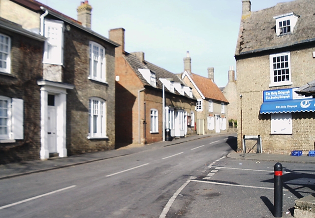
![]() This Cambridgeshire village is located just to the north of St Ives in a pleasant rural spot.
This Cambridgeshire village is located just to the north of St Ives in a pleasant rural spot.
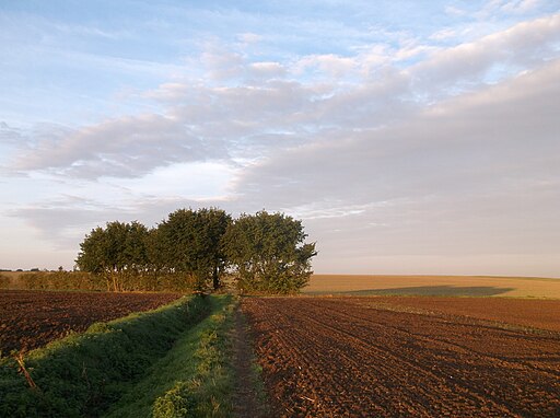
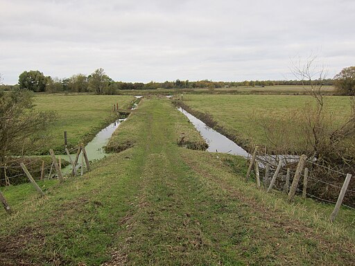
This walk from the village takes you along a section of the Pathfinder Long Distance Walk. The long distance circular walk visits the RAF Pathfinder stations at Wyton, Graveley, Oakington and Warboys. It's an interesting and historical walk visiting several memorial sites on the way. On this section you will head through the countryside to neighbouring Colne and Bluntisham before finishing at the River Great Ouse. Here you can link up with the Ouse Valley Way to continue the walk. You will also find the wildlife rich Ouse Fen nature reserve in this area.
Please scroll down for the full list of walks near and around Somersham. The detailed maps below also show a range of footpaths, bridleways and cycle paths in the area.
Postcode
IP8 4QA - Please note: Postcode may be approximate for some rural locationsSomersham Ordnance Survey Map  - view and print off detailed OS map
Somersham Open Street Map  - view and print off detailed map
Somersham OS Map  - Mobile GPS OS Map with Location tracking
Somersham Open Street Map  - Mobile GPS Map with Location tracking
Walks near Somersham
- Pathfinder Long Distance Walk - This circular walk in Cambridgeshire is named for the Royal Air Force Pathfinder Force - a group of target-marking squadrons in RAF Bomber Command during World War II.
- St Ives - A circular walk around St Ives visiting Carbis Bay
- St Ives to Lelant Walk - Enjoy a lovely strech of the South West Coast Path from St Ives to Lelant in Cornwall
- St Ives to Zennor - This is a popular circular walk from St Ives to Zennor along the South West Coast Path
- Gurnards Head - This circular walk visits a stunning headland on the Penwith coast in Cornwall.
- Carbis Bay to St Ives - This is an easy coastal walk from Carbis Bay to St Ives, with wonderful views over St Ives Bay
- Penzance to St Ives - This popular walk takes you between two major towns on the beautiful Cornish coast.
- Gwithian - This walk explores the area around the village of Gwithian on the West Cornwall coast.
- Zennor Churchway and Tinners Way - A circular walk offering splendid views of the Cornish countryside and coast around St Ives and St Just.
- Hayle Estuary - Enjoy a walk or cycle around the beautiful Hayle Estuary RSPB reserve in Cornwall
- Hayle to St Ives - This walk explores the Hayle Estuary and Carbis Bay on the South West Coast path in Cornwall
- Portreath - This north Cornish fishing village has a pretty harbour and two popular sandy beaches
- Penwith Moors and Men-An-Tol - This walk explores a fascinating area of the Penwith Moors SSSI in Cornwall.
- Ouse Valley Way - Follow the River Great Ouse from the source at Brackley, Northamptonshire, to the mouth at The Wash at King's Lynn
- Earith - Earith is located in Cambridgeshire near the River Ouse and the villages of Somersham and Bluntisham.
- Bluntisham - Bluntisham is located in Cambridgeshire near the River Ouse and the villages of Somersham and Earith.
Pubs/Cafes
The timber framed Duke of Marlborough dates to the 15th century and has a cosy interior with real fires. There's also a lovely terrace for the summer months. You can find them at postcode IP8 4QA for your sat navs. The pub is dog friendly.
Photos
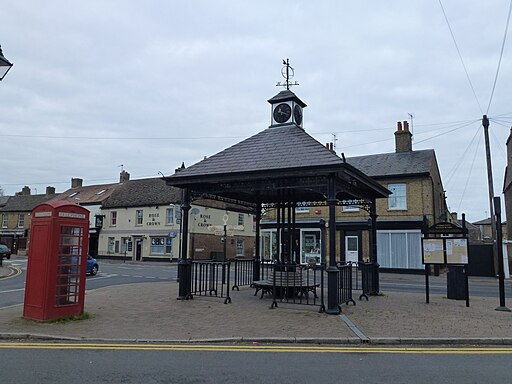
High Street, Somersham. Taken from the crossroads in the centre of the village with the 'George' on the left and the 'Rose & Crown' opposite.

